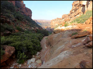
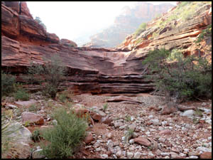
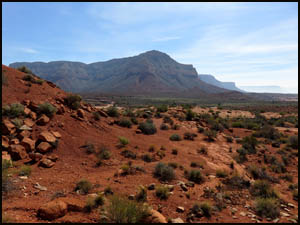
Richard and I start down Indian Hollow headed for the intersection of it and the drainage leading to the Esplanade. On the way, we pass the main arm of Indian Hollow that comes in on our left. We pass several suitable camping spots with water.
It takes about a half-hour to reach the drainage intersection, which I have marked with a waypoint on my GPS. As we make our way to the top of this side drainage, there are several minor bypasses on the left going uphill (drainage right).
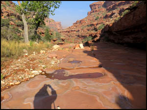
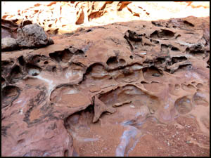
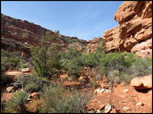
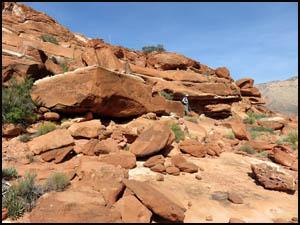
We find an interesting rock formation part way to the top.
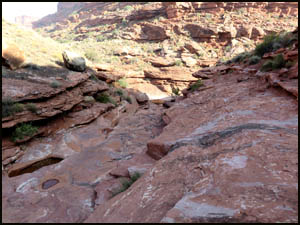
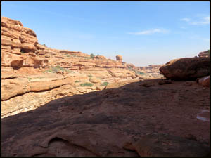
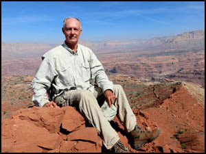
After about an hour, we reach the top of the drainage. An eight foot high cliff wall presents a formidable obstacle to being able to climb out of the drainage and reach the Esplanade. Bob Bordasch, in his trip report when he did this hike solo, indicated he was unable to exit the drainage at this point due to the height of the wall. He was then forced to move several hundred yards to his left. Richard and I help each other with hand and foot holds and are barely able to scale the wall at this point and reach the Esplanade. That saved us a lot of time and effort by not having to find another exit point. However, we're not sure we will be able to get back down at this same point.
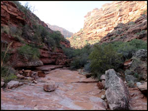
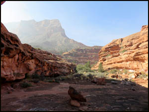
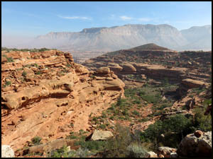
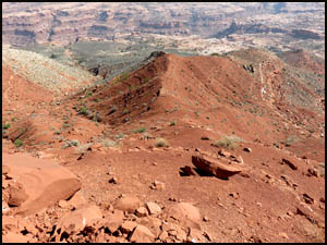
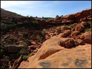
This is our view looking down the side drainage from on top.
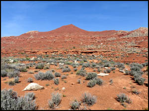
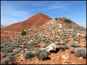
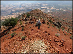
Once upon the Esplanade, we are initially unable to see Racetrack Knoll because a small hill to the west blocks our view, so we start walking in that direction. After we top the hill, we can see Racetrack Knoll in the distance.
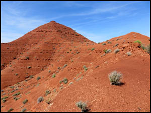
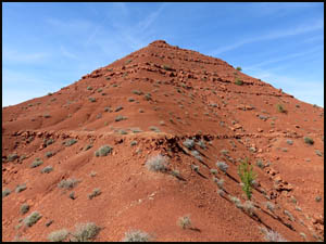
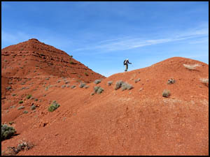
Because it is still a long ways there, we have some time to discuss and analyze the Knoll and decide which side we should start up. We agree that the right or north side appears to be the easier side, so we angle over that way. The first part of the climb involves getting to the top of a white boulder field. Once on top that, we start up the red dirt sections. The last one hundred feet or so involve going up a narrow ridge with an elevation angle of about 45-50 degrees, although the angle seems much steeper than that when you are actually doing it. The steepness of this ridge and the slippery nature of the dirt make this last little climb a harrowing experience. You are constantly afraid that your feet will slip out from under you at any moment, which would result in sure death. The pictures below do not adequately show the steepness of the ridge.
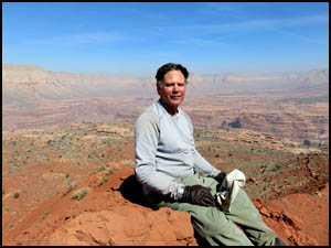
Richard and I finally make it to the top, which barely accommodates the two of us. That was a scary experience. We take turns getting each other's picture. We were hoping to sign the register, but do not find it. Some other hiker probably accidentally dropped it down the side of the Knoll, never to be seen again.
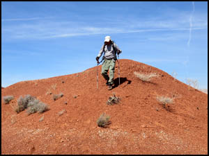
Now, Richard and I are very concerned about how we are going to get down from here. We sit down, use our feet and poles to dig into the rid dirt, and slowly slide our way down the first short section. Once there, we are able to stand up, and carefully walk down the ridge and make it all the way to the bottom. I can't tell you how glad we are to finally reach level terra firma.
I forgot to set a waypoint in my GPS showing our actual exit point from the drainage, so we are just going to head that general way. We end up a little to the north of our exit point on the side of the drainage nearest Racetrack Knoll. This turns out to be blind luck because we discover a very easy way down into the drainage onto a wide ledge. We walk this ledge over to within a few feet of where we actually exited.
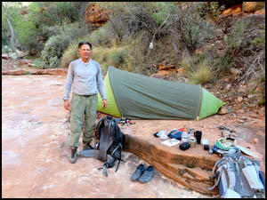
Then it's down the drainage and back to camp to relax a while. Of course, it's also time to celebrate our victory by consuming some adult beverages.
Tomorrow we are moving camp to the Cottonwood trees below Sowats Point. We had toyed with the idea of dropping our packs at the entry-exit point into upper Indian Hollow and walking up to Indian Hollow Spring, but neither of us is up for that. MAIN INDEX | HIKING INDEX | BACK TO DAY 1 | FORWARD TO DAY 3
|