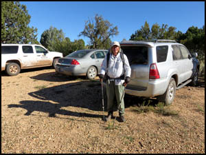
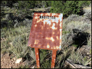
Richard and I have breakfast at the Jacob Lake Inn and then start the drive to Sowats Point. The Forest Service has been clearing out brush and small trees from that first section of forest and the road is full of potholes, slowing our travel. It takes us well over an hour to reach the point. After a little final packing, we are off. As usual, the trailhead sign and register are completely empty. It is a gorgeous day with no rain in the forecast.
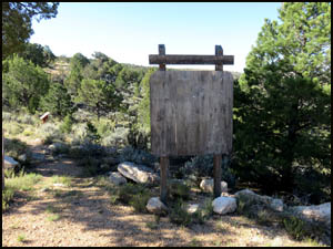
After a steep descent to the first level place, we reach a very nice Forest Service sign. I wonder how much that cost them.
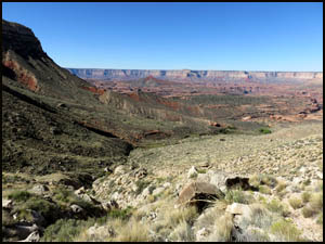
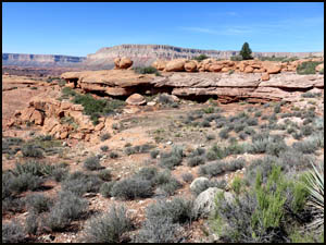
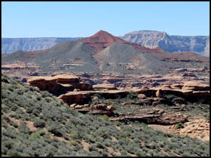
You then loop around to the north on a substantially level trail. Racetrack Knoll soon comes into view far in the distance.
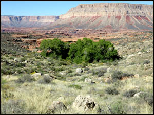
The fun soon starts as we begin the brutal descent to the Cottonwood trees at the head of Kwagunt Hollow. After reaching them and taking a short break, we continue down the trail on the north side of the trees. On all my previous hikes here, I have proceeded down on the south side of the trees, but this way is considerably easier. We are hoping to find running water, so we will not have to carry as much back here for our final night. Right at the trail junction leading to Mountain Sheep Spring, we turn south and find that the creek is flowing well. That makes our water situation for the last night easy.
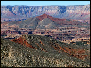
We make our way through the notch on the hillside and continue to the south past the upper end of Ojojojo Canyon. Our plan is to stay generally on the 4,400' elevation contour line and work our way to the southeast so that we can enter the upper end of Indian Hollow. Geez Louise, in the rush to pack my stuff for this trip, I forgot to load the Grand Canyon topo software for this area. My GPS still has the Colorado stuff on it from the last time I used it. Fortunately, my GPS still shows accurate elevation data and I had previously set several waypoints to help with our climb up to the Esplanade tomorrow.
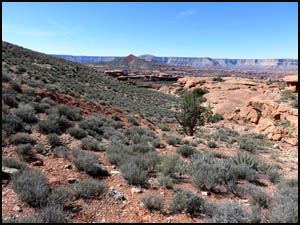
There is a distinct trail for most of the way that is almost spot on the 4,400' contour line. The trail becomes more faint the farther you go, so we simply maintain our elevation. There is a little route finding the closer we get to Indian Hollow. We eventually find a place to enter and drop down into Indian Hollow.
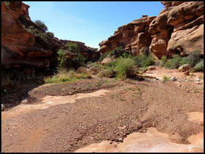
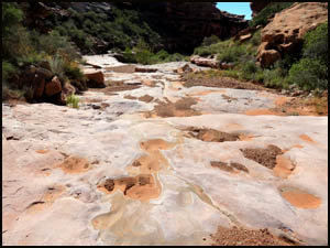
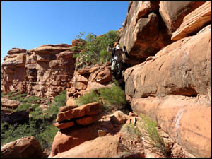
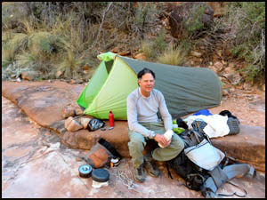
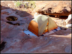
The walking is generally pretty easy as we make our way down canyon. However, one place requires us to find a way down from a ledge we are on. We spend the next hour or so trying to figure out how to get farther down canyon with our packs on. Several places are very challenging and we are tired, so late in the afternoon we decide to backtrack to a flat spot with lots of water and make camp for two nights.
Indian Hollow has lots of clear pothole and flowing water and this campsite is very nice.
Our plan for tomorrow is to proceed down Indian Hollow to a side drainage where I have placed a waypoint on my GPS, go up that drainage to the Esplanade, walk over to Racetrack Knoll, and climb to the top. MAIN INDEX | HIKING INDEX | BACK TO PREFACE | FORWARD TO DAY 2
|