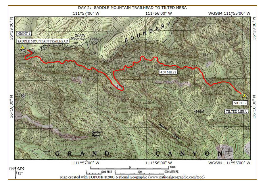
With my extra clothing, I stayed warm last night and slept pretty well. Since we are in no rush to leave this morning, we sleep in until after 7:00. Bob reports he was sick and throwing up all night. Hopefully, he will get to feeling better as the day goes on, but he is not able to eat breakfast this morning either. We each cache a gallon of water and our excess clothes and leave just before 9:00. The trail makes a few turns and initially descends rapidly after leaving the trailhead until settling into a more level condition.
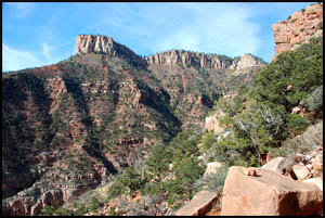
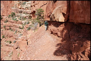
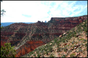
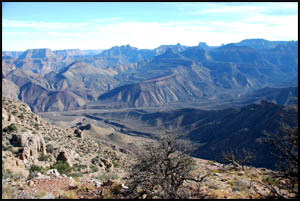
The views looking down Canyon and back toward the trailhead are quite good. In about forty-five minutes, we come to the rock slide the Park Service discusses in their Trail Closure news release dated September 14, 2009. It is no problem at all and about like crossing the drainages on the Hermit Trail. I am surprised they even put out a news release on this.
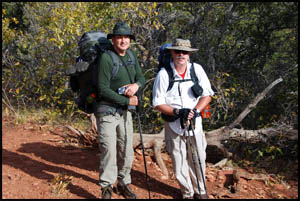
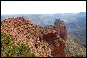
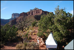
We take a short break here while getting our first view of Mount Hayden. Bob is still feeling sick and decides it would be prudent for him to turn back. Keith and I agree to shorten our hike by two days and meet Bob at the car parking area in five days.
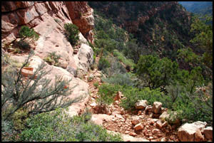
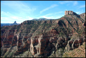
We say goodbye to Bob and each head our separate way. The trail remains mostly level while it contours its way toward Marion Point. Thanks to some great trail renovations by the Park Service, the former "scary" spot is gone. However, mild exposure remains here and on this entire section of trail.
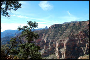
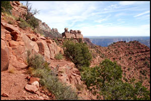
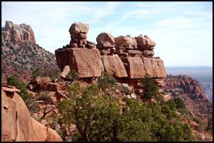
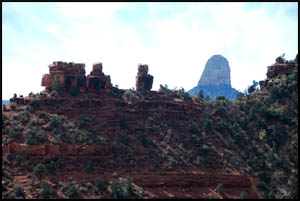
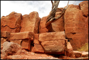
Just before reaching Marion Point, we see several stone pillars by the campsite there. These remind me of the stone pillars called "Wigleeva" as you approach the Village of Supai in Havasu Canyon. In case these do not have a name, I am unofficially naming them the Marion Point Wigleeva.
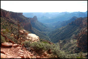
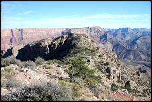
As we make our way around toward Tilted Mesa, we catch one view of Mount Hayden framed between the Marion Point Wigleeva and the cliff wall by the trail.
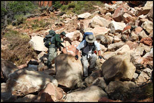
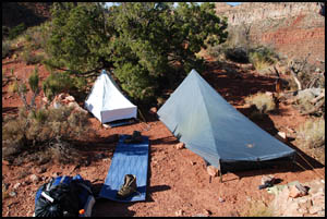
After lunch, we don't have far to travel until reaching the place where the descent to Tilted Mesa begins. It looks like there is a choice of campsites there. The first campsite looks OK, but we decide to go a little farther. The second camping spot also looks acceptable, but after discussing it, we proceed to the lower campsite, making our hike tomorrow a little shorter. There is one place between campsites where some light scrambling is required, so to be on the safe side we hand down our packs. That spot should be easier going back uphill.
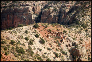
The lower camp spot is small, but works for us. There are ants here, so we are glad to have a tent. The views are truly excellent in all directions.
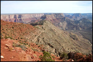
Keith and I toy with the idea of exploring some out on the far arm of Tilted Mesa, but that looks like it will be work, so we skip that. We can see where the trail departs Tilted Mesa and Nankoweap Creek is visible in the distance far below us.
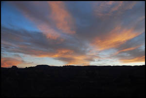
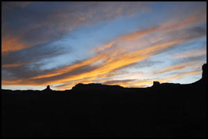
There aren't many clouds tonight, so this is about the best the sunset gets.
Our plan tomorrow is to descend to Nankoweap Creek and then follow it to the Colorado River for two nights. MAIN INDEX | HIKING INDEX | BACK TO DAY 1 | FORWARD TO DAY 3
|