I'm up around six at the North Rim campground, pack my stuff, and start the drive to Jacob Lake and House Rock Valley. After turning off Highway 89A, it takes about one more hour to reach the parking area. I just finish packing all my stuff when Bob and Keith pull up. They unload, we park the cars, and we're off.
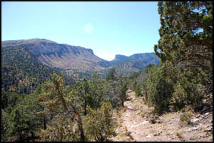
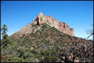
The trail heads uphill right away. In about thirty minutes, we crest a ridge and get our first view of Saddle Mountain. It's easy to see how it got its name. Unfortunately, the trail starts a descent here until reaching a creek bottom and we lose all the altitude we gained at the start of the hike. I wonder why the trail doesn't contour around that creek bed and save all that wasted effort. We now have over 1100' of altitude to gain until reaching Saddle Mountain.
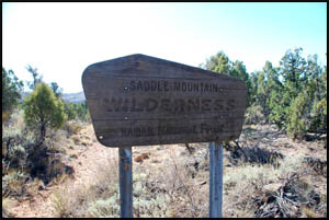
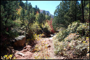
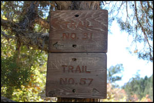
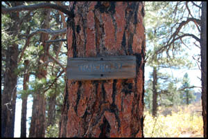
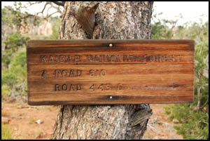
Just on the other side of the creek bed we come to a trail junction and a sign with trail numbers only, but no names. Fortunately, some other hiker added language to the bottom sign indicating that it is the correct route for hiking Nankoweap. After our lunch break, we continue the uphill slog. I feel sorry for Bob and Keith as they are each carrying an additional eighteen pounds of weight in two gallons of water to cache at the trailhead. I did a day hike a few days ago from the high access road and already cached my two gallons at the trailhead. A few minutes before reaching the trailhead we come to another trail sign.
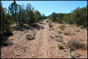
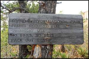
In short order, we pull into the official trailhead at Saddle Mountain just after two. I am surprised to find this number of trailhead signs here.
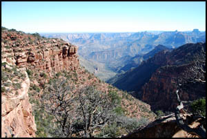
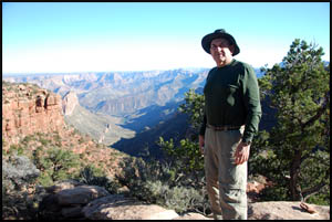
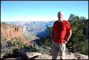
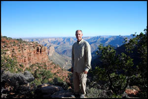
The views down Canyon from Saddle Mountain are stunning. Since we are only a few miles from Point Imperial, we expect to be able to see Mount Hayden tomorrow.
The views are so good, we each get our picture taken by edge.
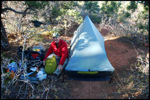
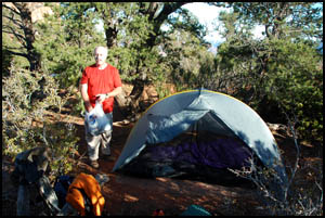
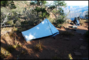
We are all trying out new light-weight Tarptents. Keith's is a Contrail, Bob's is a Rainbow, and mine is a Sublite. With a hike as tough as this one, there's nothing quite like shedding a few extra pounds of weight.
Just before dark, we meet Bill Ferris, who has hiked all the way from the Colorado River today. He is continuing to the car parking area in the dark and then driving on to Flagstaff. Wow!! Since it was really cold on my Comanche Point hike the other day, we brought extra clothing to wear tonight that we will cache here at the trailhead for our return in a week. Our plan is to camp tomorrow night at Tilted Mesa. MAIN INDEX | HIKING INDEX | BACK TO PREFACE | FORWARD TO DAY 2
|