|
ALL HIKERS
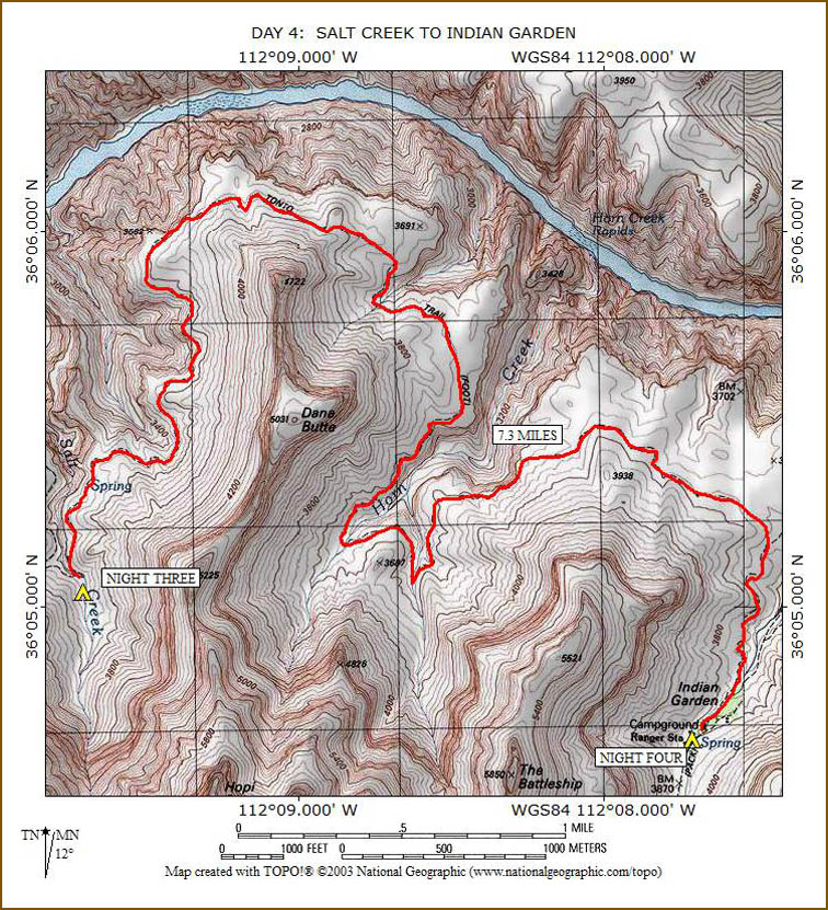
DAY 4:
SALT CREEK TO INDIAN GARDEN |
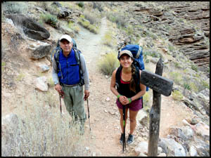
We are up a little earlier this morning and get away just after eight o'clock.
Bianca has already hiked 2.2 miles from Cedar Spring and just happens to arrive
at the Salt Creek trail sign as we are leaving. She is the only
hiker I have ever seen who does not wear any socks. She quickly leaves us far
behind and fades out of sight.
 |
 |
Looking north from the Salt Creek campsites
10-17-2017 @ 8:03 |
Richard and Bianca at the trail sign
10-17-2017 @ 8:04 |
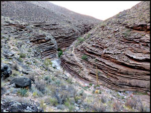
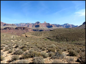
We
slowly make our way out of the Salt Creek drainage and, after about an hour,
get our first view of the Colorado River today.
 |
 |
 |
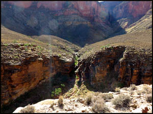
Looking back toward Salt Creek
10-17-2017 @ 8:17 |
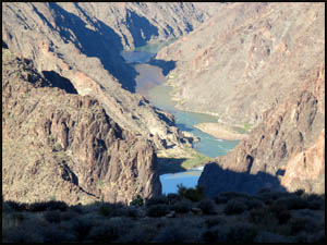
Our first view of the River
10-17-2017 @ 8:56 |
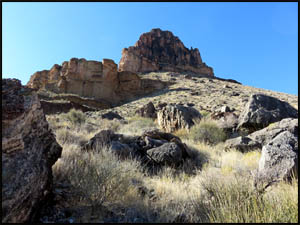
Tower of Set
10-17-2017 @ 8:59 |
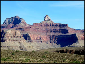
In another half-hour, we are rounding Dana Butte, named for the famous
American geologist, James Wright Dana. Around 1919, one entrepreneur
proposed an aerial tramway connecting Hopi Point, Dana Butte, and Tower of
Set to complement the one going down to the old Hermit Camp. While
technically feasible, it never came to be.
 |
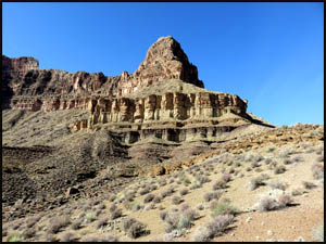 |
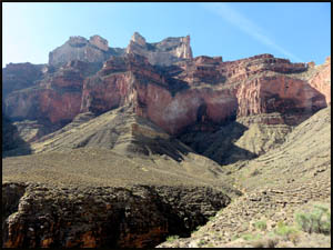
Dana Butte
10-17-2017 @ 9:36 |
Dana Butte
10-17-2017 @ 9:42 |
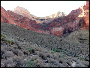
We can now see Horn Creek in the distance. After looping around to the
west, we cross over a small drainage and arrive at Horn Creek. Bianca is
just leaving Horn Creek as we are approaching. When I camped here in
2006, you could still see the Orphan Mine super-structure up on the rim.
The Park Service has since removed that.
 |
 |
Approaching Horn Creek
10-17-2017 @ 10:16 |
Looking up to the South Rim from Horn Creek
10-17-2017 @ 10:16 |
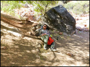
We decide to take an extended break here. This is a very nice little
campsite. I have camped here twice before.
 |
 |
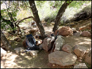 |
Relaxing at Horn Creek
10-17-2017 @ 10:51 |
Horn Creek campsite
10-17-2017 @ 10:51 |
Horn Creek campsite
10-17-2017 @ 10:52 |
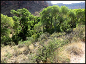
The hiking today has been much easier than it was yesterday because the
terrain is considerably flatter than it was going from Monument Creek to
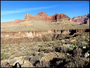
Salt Creek. Zoroaster Temple is the dominant feature on the north side
of the River.
 |
 |
Zoroaster Temple
10-17-2017 @ 11:37 |
Zoroaster Temple
10-17-2017 @ 11:53 |
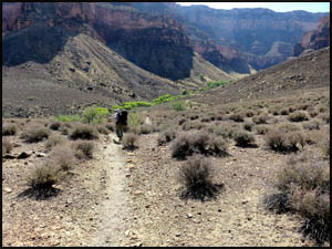
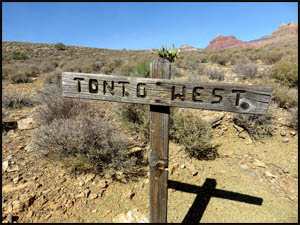
Pretty soon we are approaching the Plateau Point Trail. The Park
Service used to have a sign next to the Tonto West sign warning of the
dangers of drinking the radiation tainted water at Horn Creek because it was
below the Orphan Mine, an abandoned uranium mine. I guess if you drink
the water now you will only glow softly at night.
 |
 |
 |
Approaching the Plateau Point Trail
10-17-2017 @ 11:53 |
Tonto Trail sign
10-17-2017 @ 11:55 |
Almost to Indian Garden
10-17-2017 @ 12:11 |
We see Bianca one last time as we pull into Indian Garden. As fast as
she was on the trail, I'm sure she has been here for some time. With the
crummy itinerary the Backcountry Office saddled her with, she still has to
hike up to the South Rim today.
| |
 |
|
| |
Bianca at Indian Garden
10-17-2017 @ 12:16 |
|
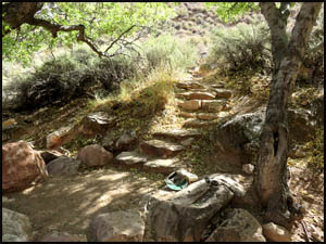
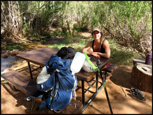
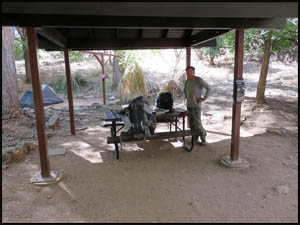
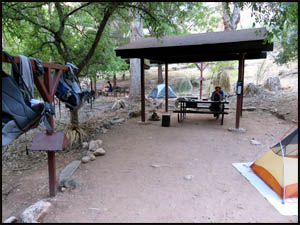
We get a nice campsite, have lunch, and relax the rest of the afternoon.
You sure get spoiled here with a covered picnic table and running water.
The picnic tables are all new, courtesy of donations from several groups and
individuals.
 |
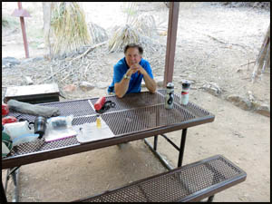 |
Our campsite at Indian Garden
10-17-2017 @ 12:24 |
A new picnic table at Indian Garden
10-17-2017 @ 3:39 |
 |
 |
 |
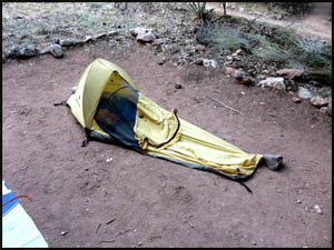
Richard's bivy at Indian Garden
10-17-2017 @ 3:40 |
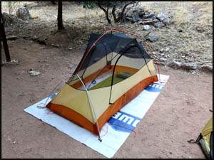
My tent at Indian Garden
10-17-2017 @ 3:40 |
Our campsite at Indian Garden
10-17-2017 @ 3:40 |
Tomorrow
we are hiking out to the South Rim.
MAIN INDEX
|
HIKING INDEX
|
BACK TO
DAY 3 |
FORWARD TO DAY 5
|
Copyright © Richard M. Perry, 2004-2024. All rights reserved. This web site, its text, and pictures may
not be copied without the express written consent of Richard M. Perry. |
|