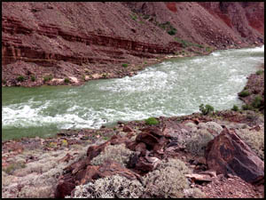
It is 6.5 miles over to Hance Creek and most of the hiking today will be easy. However, first we have to get through a rock and boulder field about a half-mile long. I've been this way several times before and each time I somehow got off the established trail. The result was a lot of scrambling and boulder hopping, all very unpleasant experiences. We pay close attention to staying on the trail and easily make our way through all the rocks. I can't tell you how much better it is when you don't get off-trail.
It takes us about an hour to get through all the rocks and boulders. We are glad to be on top and headed into Mineral Canyon.
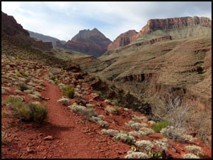
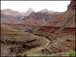
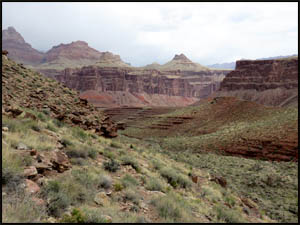
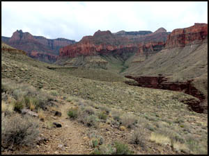
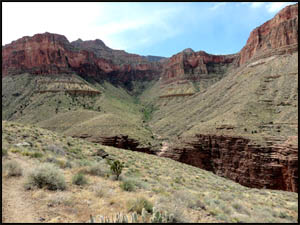
The walking on this section of the Tonto is generally pretty easy. Like Red Canyon, some of the walls of Mineral Canyon are a vivid red-orange color. Rain is forecast today and the sky looks dark and threatening to the west. Just as we cross the creek bed at the south end of Mineral Canyon and turn back north, the rain starts. We decide to take refuge behind a large boulder and see if the rain will let up in a while. It does stop after a few minutes, so we continue climbing to the north toward Ayer Point.
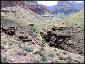
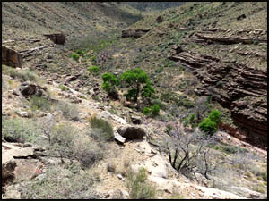
We round Ayer Point and turn back to the south. In the distance we can see where the trail descends off the east side of Horseshoe Mesa. Pretty soon we are approaching the big Cottonwood trees at the Hance Creek campsite area. That means we're getting close.
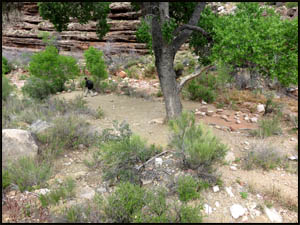
It looks like no one else is at Hance Creek, so we've got our pick of the campsites.
We pull into the primo site with the big Cottonwood tree right next to the creek and have lunch. While the nearby creek makes filtering water easy, it also means there will probably be croaking frogs tonight. Since I am a light sleeper, I'm going to camp a little farther away from the creek and the frogs. We filter water now since any rain later would probably make the creek muddy.
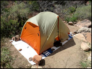
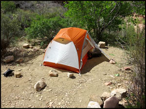
I set up my tent a little ways off and Keith sets his up below the big Cottonwood tree.
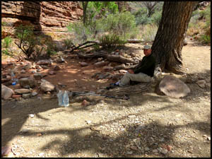
We relax in camp for a couple of hours in the shade of the Cottonwood tree.
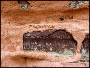
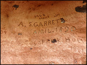
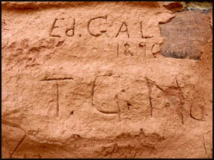
Then it's time to go over to the cliffs next to where the trail crosses the creek and check out all the inscriptions. Some of these are pretty neat and many are over a century old.
On the way back to camp, we meet a guided group that is camped at the upper site. They also came down the New Hance yesterday and just got in here from Hance Rapids. A female member of the group fell on the steep descent just below the New Hance trailhead signs and broke her arm. One of the guides had to take her to the hospital and then hike back in the dark to Hance Rapids yesterday to meet up with the others. Going down the New Hance by flashlight at night doesn't sound like fun to me. Of course, I don't know why commercial guides would take a bunch of newbies down the New Hance at all. That's a pretty tough trail for someone doing their first Canyon hike. That's just asking for trouble. The dark clouds roll in again, so I put water, my food, and stove in my tent in case the rain comes. Sure enough, it starts to pour just before dinner time. I climb in my tent, cook supper, and have a good meal, nice and dry. We have an easy day tomorrow as it is only about five miles over to Cottonwood Creek. MAIN INDEX | HIKING INDEX | BACK TO DAY 1 | FORWARD TO DAY 3
|