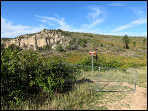
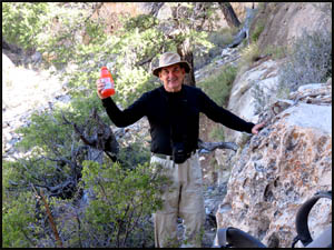
Keith and I meet at the Jacob Lake Inn at 6:30, have breakfast, and then drive to Monument Point. After a little packing, we are off.
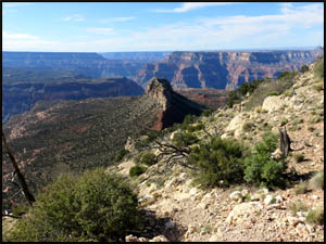
It's about a half-mile walk through a burned section of trees until you reach the first descent point above Bridgers Knoll. The descent is steep, but seems easier than when I last did this trail ten years ago.
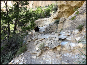
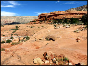
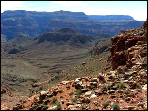
Immediately above Bridgers Knoll, the trail levels off and loops around to the north for about a half-mile until you come to a small cliff section. The Esplanade far below is gorgeous.
I climbed down this small cliff with my pack on the last time I was this way, but Keith and I decide to play it safe and hand our packs down. As Keith is taking his pack off, a bottle of his Gatorade careens down the hillside. He is lucky to find it intact below the cliff section.
We start down the second major descent point, a small finger that quickly switchbacks down to the Esplanade. Just before reaching the Thunder River Trail, we pass a group of eleven Boy Scouts who are also headed down.
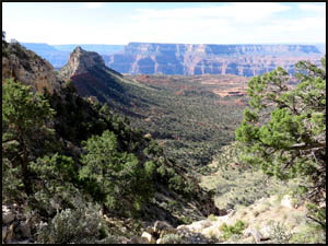
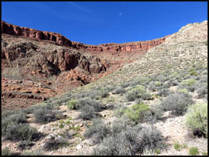
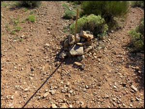
The trail contours to the east to get around a drainage running east and west. The walking is very easy on the hard rock Esplanade. There are numerous cairns to mark the way and the trail is quite distinct.
We take our lunch break beside a small embankment just before reaching the "Boob Rocks." In a few minutes, the Boy Scout troop arrives and takes their lunch break here also. This is where we plan to camp on our last night. The Scout troop is headed for Deer Creek. This is the first time any of them has been on this trail.
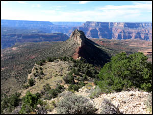
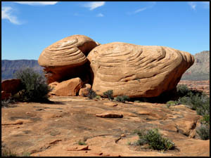
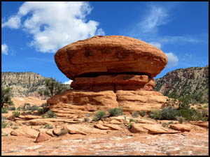
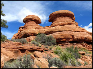
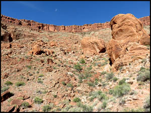
Just around the corner from the Boob Rocks we come to Flying Saucer Rock and shortly after that we reach the Mushroom Rocks.
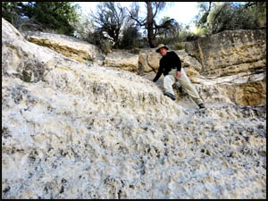
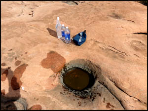
We stop at the large boulder with a shade area near the top of the Redwall where many hikers take a break. A friend told me there might be pothole water on top of this or other boulders nearby. He was right. Keith and I filter two quarts each and cache these out of sight. We also filter a little more water to carry down with us to our intended campsite on the eastern edge of Surprise Valley. That way we won't have to do a day hike from our campsite down to Thunder River for water.
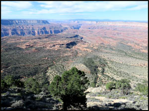
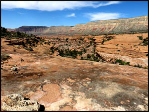
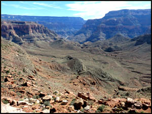
The view from the top of the Redwall looking down on Surprise Valley is stunning.
Unfortunately, this Redwall descent is brutal. The elevation loss from the very top of the Redwall to the middle of Surprise Valley is 1200 feet. We finally reach the triangular trail junction at the bottom of the Redwall and take the southeast leg.
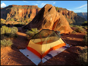
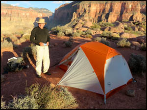
About half-way to the eastern edge of Surprise Valley, we find an area where some people have camped. It would do in a pinch, but is not as good as the one I remember further on. Keith and I are tired, but we decide to press on. Sure enough, the camping spot by the large boulder at the very eastern edge of the valley is first rate. Keith liked my Big Agnes Copper Spur UL2 tent so much that he bought one too. The two-person version offers more room for your gear inside the tent than a one-person tent does.
Tomorrow we are going past Thunder River and all the way to Lower Tapeats. MAIN INDEX | HIKING INDEX | BACK TO PREFACE | FORWARD TO DAY 2
|