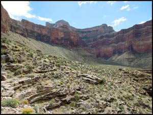
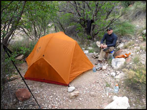
We had rain off and on last night, so I'm glad I had a tent. We leave around 9:00. For the most part, the Tonto Trail is easy walking, but this climb from Monument Creek up to the Tonto is no fun at all. At the top, we can see the guided group camped far below. They will be camping at Horn Creek tomorrow night.
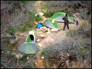
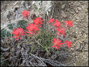
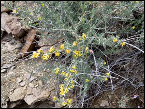
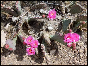
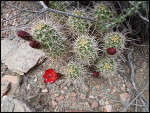
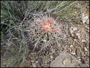
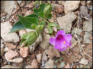
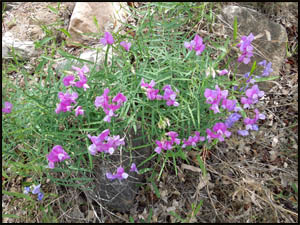
We find more blooming flowers today.
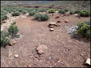
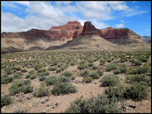
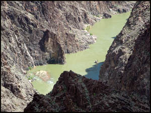
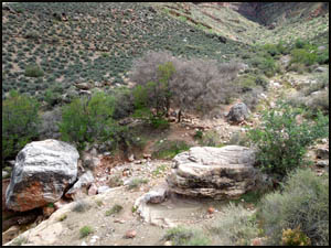
I once had to camp at Cedar Spring when the Park Service lost my permit application for Monument Creek. It's a very small campsite. The Tower of Set, named for the chief Egyptian God of War, is directly across the River to the north of here. Pretty soon we get our first view of the day of a pretty green Colorado River.
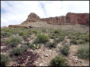
We find more of the usual desert type plants, some in bloom. All the cactus will be blooming in a few weeks.
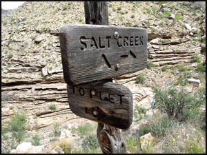
We are almost to the half-way point when we pass Salt Creek.
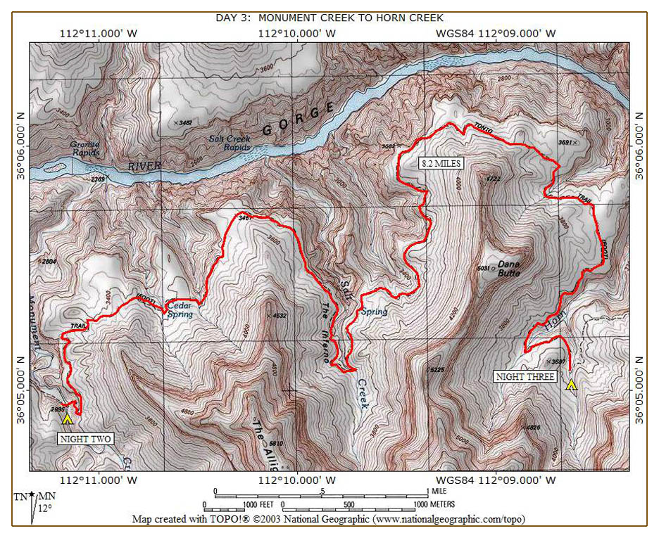
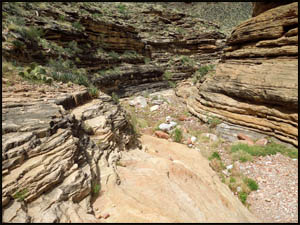
The Salt Creek drainage area is large and it takes us quite some time to get past it. We stop for lunch at a small pour-off. When we are almost to Dana Butte, Keith and Alan discover they each left something back where we had lunch. Keith left his foam sitting pad and Alan left his sun glasses. Neither is going back for them.
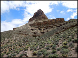
The last major point we pass is Dana Butte, named for the American geologist, James Wright Dana.
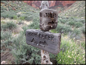
When you round Dana Butte, you think you're almost there, but it's still a long ways. My last time here the super structure for the Orphan Mine, a uranium mine, was visible up on the rim. The Park Service removed that a few years ago. Knowing that water in Horn Creek is partially contaminated by radiation from the mine, we are each carrying two quarts of water for a dry camp tonight. We finally pull into Horn Creek in mid-afternoon.
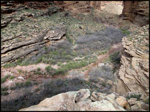
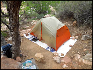
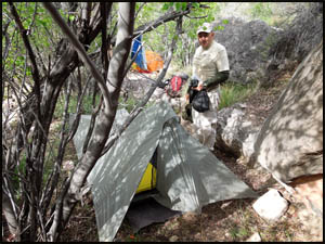
Horn Creek is a very small campsite. I take a spot near the trail crossing while Keith and Alan find another spot down creek from me. I don't know how bigger groups manage to fit in here. This is where I met Keith for the first time seven years ago when we were each doing solo hikes.
While Horn Creek has a porta-potty, you have to walk a couple hundred yards over to it. I guess there wasn't a flat spot between the campsite and there.
Just before supper, three high school age kids come by from Indian Garden. All are wearing jeans and one has on cowboy boots. They ask where they are and where the next campsite is. I advise them that Salt Creek is the nearest campsite more than four miles to the west, but that there would not be any water between here and there. They say they don't have a permit and march off in that direction. I am concerned for their safety. Tomorrow we are headed to Bright Angel Campground for two nights at the bottom. MAIN INDEX | HIKING INDEX | BACK TO DAY 2 | FORWARD TO DAY 4
|