I'm slowly getting used to that 5:15 wakeup call for coffee. Our crew fixes us another great breakfast of sausage and eggs. Just after pushing off from shore, we see a lot of Park Service rafts across the River. They are probably working on the Humpback Chub fish relocation project.
We pass a rafting group camped at Lava Canyon and shoot Lava Canyon Rapids by Palisades Creek at mile 65.5. The Desert View Watchtower, designed by Mary Jane Colter and completed in 1932, is now in view on top a hill in the distance. Next is Tanner Rapids, mile 69, named for Seth Tanner, who worked several mines nearby in the early 1900s.
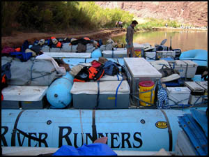
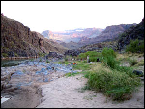
Our first stop for the day is 75-Mile Canyon close to Neville Rapids. Many in the group do a day hike up the Canyon. Parked next to us are several Arizona River Runners' rafts.
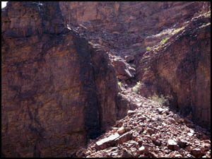
We glide past the Papago Wall and Slide at mile 76. These are tough obstacles for hikers on the Escalante Route. I've passed that section four times hiking, but only had to climb over it once. The other three times I was lucky enough to hitch a raft ride past it. It's a lot tougher climb than it looks.
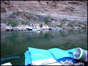
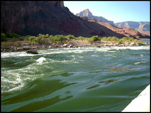
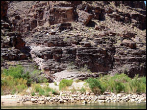
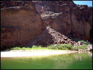
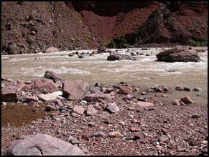
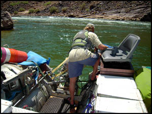
We get ready to make the run through Hance Rapids at mile 76.5, named for John Hance, the first permanent resident of the Grand Canyon. This is a formidable rapid with lots of rocks. To get some idea of the number of rocks in the rapids, I've included the picture below taken from the shore on one of my hikes past Hance Rapids. Amity makes a good run but our engine prop gets damaged on one of the many rocks, so Carolyn and Amity go about the task of replacing the broken prop with a spare one. On my last raft trip here, the rocks broke our engine going through the rapids, so the crew had to replace the entire engine. That's why Park rules require a spare engine on motorized trips.
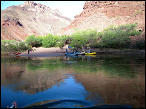
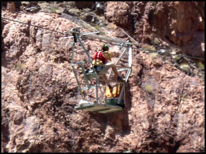
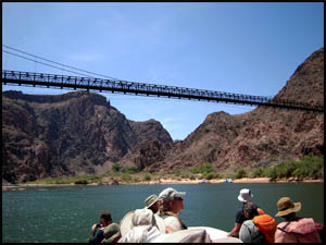
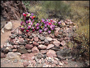
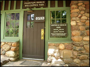
Our next stop is on the beach below the Kaibab Suspension Bridge at mile 88 to allow a visit to Phantom Ranch. Carolyn says in her 100+ raft trips that this is the first time she has seen a Park Service worker in the cable car taking water samples. Although I have been to Phantom Ranch many times on my Canyon hikes, I never tire of getting their one-of-a-kind T-shirt and mailing some postcards stamped with their famous red "Mailed by Mule Team" stamp. There is a trail construction worker's grave on the trail there.
I've spent a little too much time writing post cards at Phantom Ranch, so Craig and I hurry back to the rafter's beach for lunch. Our crew fixes another great lunch of roast beef, turkey, and ham sandwiches.
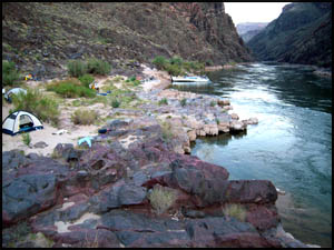
After lunch, I give a brief explanation to the group of how the Kaibab Suspension Bridge and Silver Suspension Bridge came to be. We are a little behind schedule, so Carolyn really motors our way west of Phantom Ranch and through the "Gems" section, the area between Boucher Rapids and Bass Rapids where many of the side canyons are named for precious stones (Ruby, Turquoise, Sapphire, Topaz, Emerald). Boucher Rapids is named for Louis Boucher, often referred to as the Hermit of Grand Canyon, and Bass Rapids is named for William Wallace Bass. She successfully makes the run through Crystal Rapids, one of the toughest in the Canyon. Her skill at driving the big boat has been obvious the entire trip. Carolyn tells how another trip leader, Jake, got stuck on the "Rock Garden" at Crystal Rapids and they had to spend the entire night there on the boat until the Park Service could free them the next day. We stop for the night at mile 107.5 just before Bass Rapids on a small sand beach named Hotauta Camp.
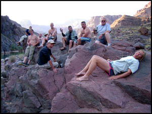
After making camp, most of the group assemble for refreshments on a rock overlooking our campsite. It promptly acquires the name, "Party Rock."
Supper tonight is chicken, corn, mashed potatoes, and carrot cake. MAIN INDEX | HIKING INDEX | BACK TO DAY 2 | FORWARD TO DAY 4
|