|
ALL HIKERS
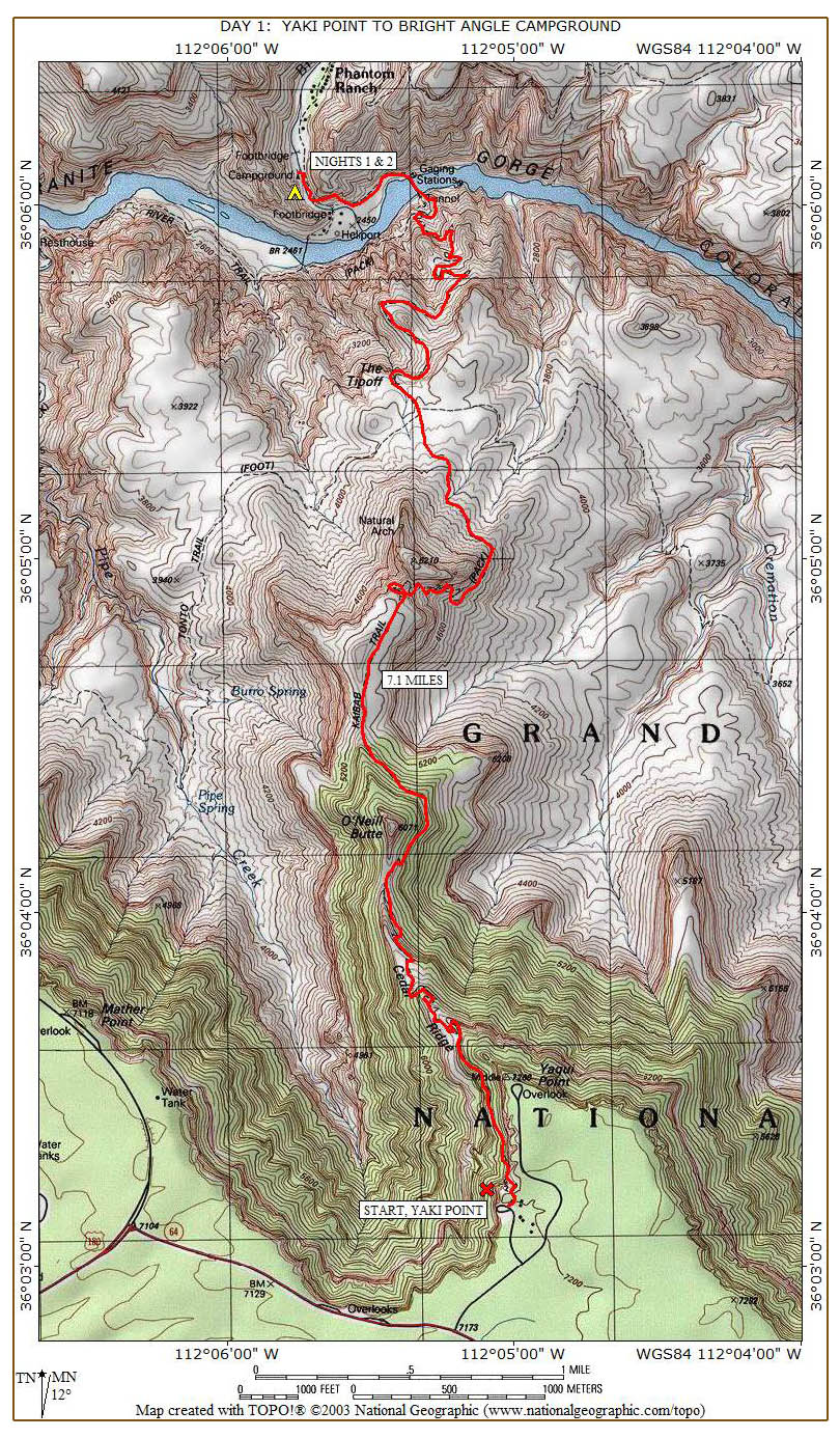
DAY 1:
YAKI POINT TO BRIGHT ANGEL CAMPGROUND |
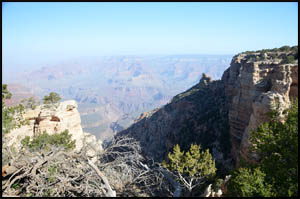
I'm up early at my Mather campsite, pack my tent and gear, and meet Keith at
6:00 at the Maswik Lodge for breakfast. Our plan is to catch the 7:00 Hikers
Express shuttle and get an early start. Geez Louise, I just
remembered that I left our permit back in Oklahoma. I'd better go by
the Backcountry Office when it opens at 8:00 and get another one printed.
I'd hate to hike without one in hand. I agree to meet Keith at
Bright Angel Campground later. I get the permit, drive to the new
visitor center, and catch the next shuttle to Yaki Point. I only
lost about an hour, so that's not too bad. The wind is really
blowing and the air is filled with dust, so I'll be amazed if any of my
pictures turn out with all this haze.
 |
 |
 |
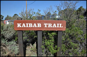
South Kaibab trailhead
4-26-2011 @ 8:43 |
Start of the trail
4-26-2011 @ 8:45 |
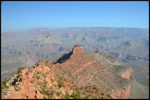
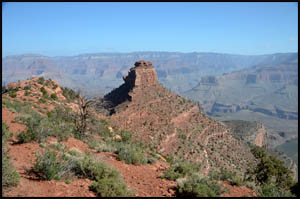
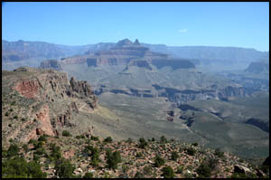
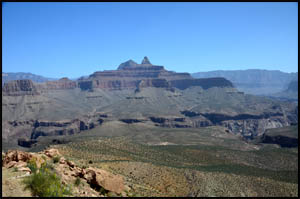
O'Neill Butte
4-26-2011 @ 9:08 |
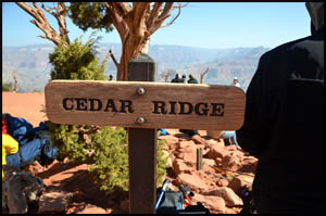
I am making good time until I run into a large, Ranger-led group on a day
hike. Finally, I get the chance to pass them and pull into Cedar Ridge
in thirty minutes. A quick bathroom break and I'm off again.
 |
 |
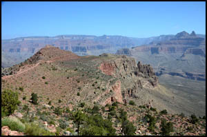
O'Neill Butte from Cedar Ridge
4-26-2011 @ 9:22 |
Cedar Ridge sign
4-26-2011 @ 9:23 |
There's very little traffic below Cedar Ridge, so I really fly around
O'Neill Butte.
 |
 |
 |
Beside O'Neill Butte
4-26-2011 @ 9:55 |
Beside O'Neill Butte
4-26-2011 @ 9:55 |
Beside O'Neill Butte
4-26-2011 @ 9:55 |
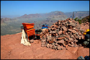
I come across an interesting
portable conveyor belt machine on the north side of O'Neill Butte. Apparently, workers use this to
efficiently get rocks up a steep incline.
 |
 |
Rock conveyor belt machine
4-26-2011 @ 9:58 |
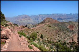
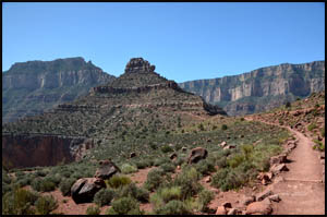
Looking back toward O'Neill Butte
4-26-2011 @ 10:04 |
I am still making great time as I speed down the steep switchbacks below
Skeleton Point. I remember well my first hike at the Grand Canyon twelve
years and twenty-six hikes ago when my knees were in extreme pain going down
this section and I swore I would never hike here again.
 |
 |
 |
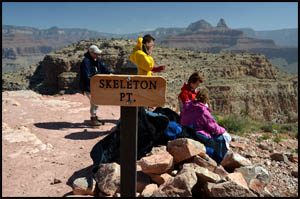
Skeleton Point
4-26-2011 @ 10:07 |
Looking down from Skeleton Point
4-26-2011 @ 10:09 |
Half-way down the switchbacks
4-26-2011 @ 10:18 |
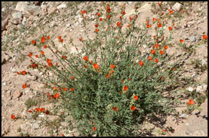
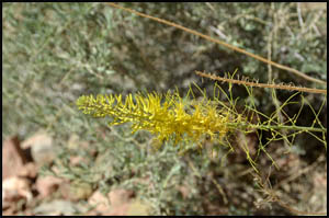
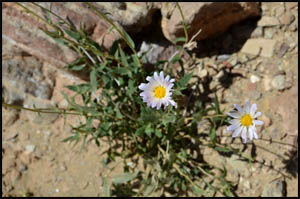
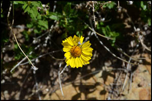
I was expecting more flowers in full bloom, but I still find a nice variety
today.
| |
 |
|
| |
Globemallow
4-26-2011 @ 10:26 |
|
 |
 |
 |
Prince's Plume
4-26-2011 @ 10:28 |
Mojave Aster
4-26-2011 @ 10:34 |
Wild Chrysanthemum
4-26-2011 @ 10:51 |
 |
 |
 |
Brittle Bush
4-26-2011 @ 10:59 |
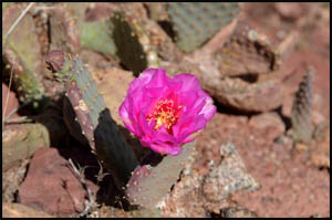
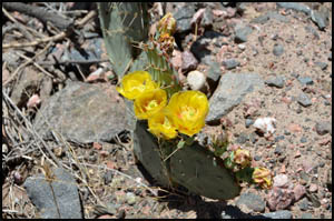
Prickly Pear Cactus
4-26-2011 @ 11:17 |
Prickly Pear Cactus
4-26-2011 @ 11:44 |
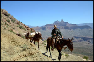
I move over to the side of the trail as the daily mule pack team comes by headed for
the rim. I had forgotten how nice the views are from here of Zoroaster
Temple across the River. The South Kaibab is in the best condition I
have ever seen it. All that recent trail work has paid off.
 |
 |
Mule team
4-26-2011 @ 10:30 |
Zoroaster Temple
4-26-2011 @ 10:32 |
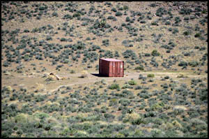
Since I was here last, the Park Service has brought in a large, metal
storage container for use at the Tipoff Point. That must have taken
quite the heavy-lift helicopter to get that thing down here.
|
|
 |
|
| |
Metal storage container
4-26-2011 @ 10:45 |
|
 |
 |
 |
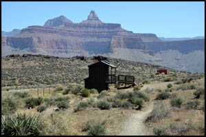
Tipoff Point toilet
4-26-2011 @ 10:48 |
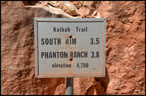
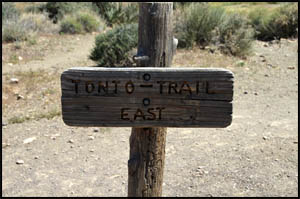
Trail sign
4-26-2011 @ 10:48 |
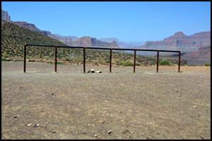
Tipoff Point hitching post
4-26-2011 @ 10:48 |
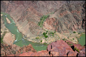
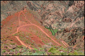
In no time at all, I come to the actual Tipoff Point, which has
absolutely fantastic views of the River and the campground. You almost
feel like you are suspended right above them.
 |
 |
 |
Great view looking down
4-26-2011 @ 11:02 |
Great view looking down
4-26-2011 @ 11:02 |
Great view looking down
4-26-2011 @ 11:02 |
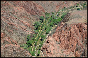
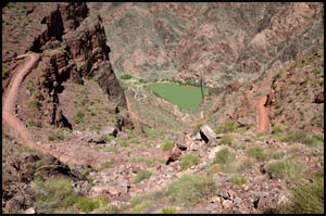
The Colorado River is flowing a gorgeous green color as I descend one more
section of steep switchbacks.
 |
 |
 |
Switchbacks to the bridge
4-26-2011 @ 11:10 |
Switchbacks to the bridge
4-26-2011 @ 11:19 |
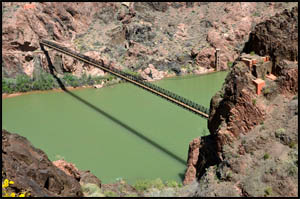
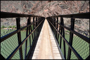
Kaibab suspension bridge
4-26-2011 @ 11:19 |
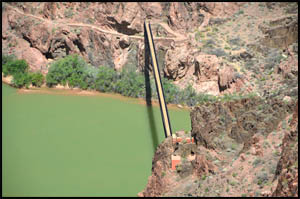
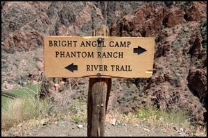
This is unusual for me to hike this long without taking a break, but I'm
still feeling good. I turn right at the River Trail sign and head for the
Kaibab suspension bridge.
 |
 |
 |
Looking down river
4-26-2011 @ 11:29 |
Trail sign
4-26-2011 @ 11:31 |
Kaibab suspension bridge
4-26-2011 @ 11:31 |
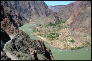
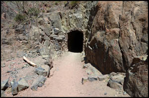
A quick trip through the tunnel and a short walk across the bridge and I'm
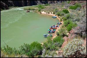
treated to a row of colorful rafts tied up at the boater's beach.
 |
 |
 |
Tunnel leading to the bridge
4-26-2011 @ 11:36 |
Kaibab suspension bridge
4-26-2011 @ 11:38 |
Rafts at the boater's beach
4-26-2011 @ 11:42 |
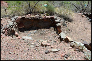
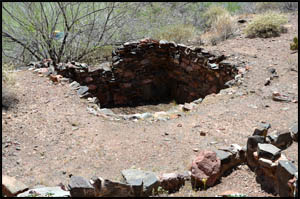
I'm surprised that the Anasazi ruins here have survived all the floods that
must have taken place over time.
 |
 |
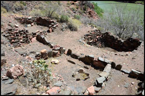 |
Anasazi ruins
4-26-2011 @ 11:43 |
Kiva
4-26-2011 @ 11:43 |
Anasazi ruins
4-26-2011 @ 11:43 |
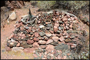
This wrangler's grave had a lot of pretty plastic flowers on it when I was here two
years ago on a raft trip.
| |
 |
|
| |
Wrangler's grave
4-26-2011 @ 11:46 |
|
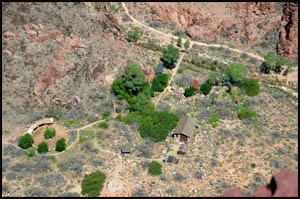
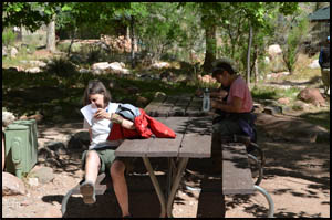
I pull into camp before noon, a total hiking time of about three hours, and
find Keith is taking a nap on the picnic table. I'm still feeling
fresh, a remarkable difference from my seven-hour ordeal getting down here on
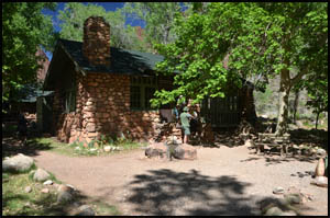
my very first hike. Keith and I head over to Phantom Ranch this
afternoon for a beer and to mail some post cards with their famous "mailed
by mule team" stamp.
 |
 |
Canteen, Phantom Ranch
4-26-2011 @ 2:37 |
Phantom Ranch
4-26-2011 @ 2:37 |
We are staying two nights here and have steak dinners and breakfasts both
days at Phantom Ranch. Tomorrow we are going to do a day hike up the
Utah Flats Route.
MAIN INDEX
|
HIKING INDEX
|
BACK TO PREFACE
|
FORWARD TO DAY 2
|
Copyright © Richard M. Perry, 2004-2024. All rights reserved. This web site, its text, and pictures may
not be copied without the express written consent of Richard M. Perry. |
|