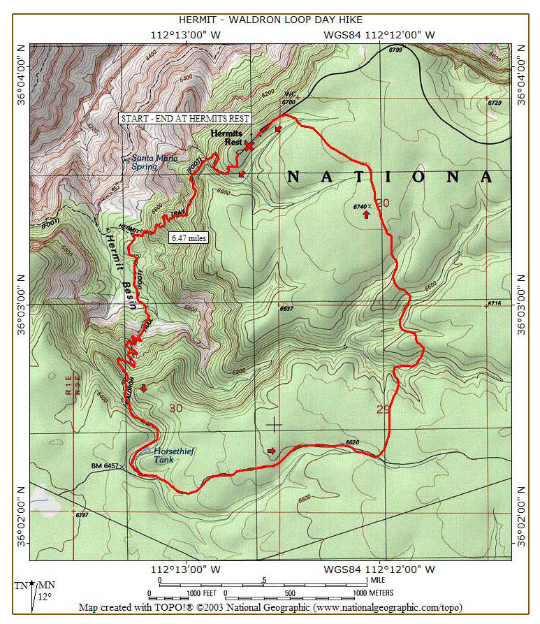
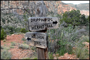
I've done both the Hermit and Waldron Trails before, but never as a loop hike. My plan is to go down the Hermit, up the Waldron, walk the Waldron road a little ways, and then head cross-country back to Hermits Rest. I meet a group of four headed to Dripping Springs. They are doing volunteer work for the Park Service taking sound measurements and are loaded down with recording gear.
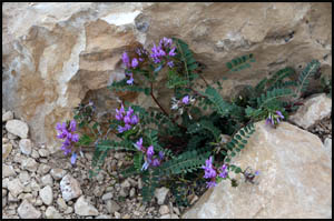
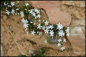
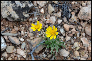
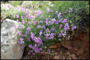
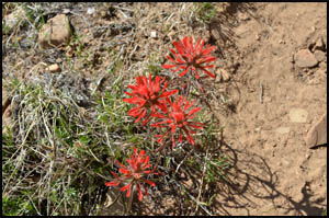
As expected in late April, I find quite a few blooming flowers on this hike.
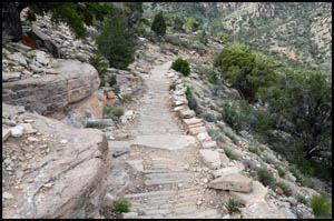
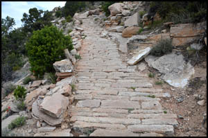
I never cease to be amazed at the "paved" sections of the trail that remain a century after the Santa Fe Railroad built the Hermit Trail. For being an unmaintained trail, this one is in very good shape.
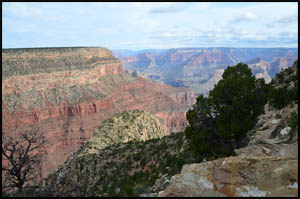
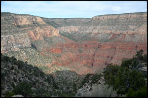
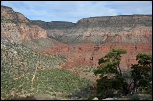
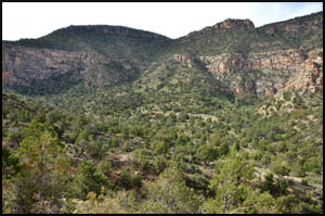
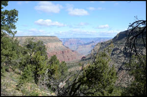
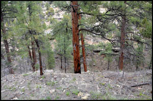
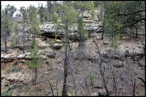
The views of the Hermit Gorge and the Dripping Springs area are very good.
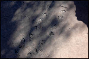
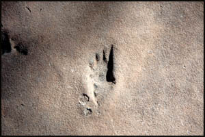
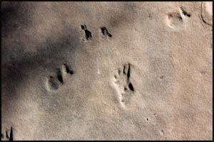
In no time at all, I reach the area with some very good fossilized footprints in the stone.
I reach the bottom and the Waldron Trail in about 45 minutes and start up that. It is very easy walking until the uphill section starts. Then it's plenty of switchbacks until you reach the top.
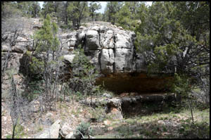
The dam at Horse Thief Tank was built in 1895, but I wonder if it has ever done much good. The pond is bone dry today, the same as it was the last time I came this way five years ago.
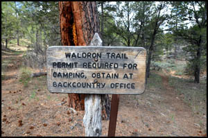
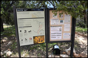
A few minutes later I reach the trailhead sign.
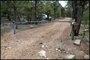
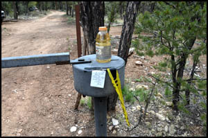
The Park Service used to let you drive to the Waldron trailhead, but those days are gone as I encounter a locked gate about a half-mile up the road from the trailhead sign. Several cars are parked nearby. I find a Gatorade bottle and note from another hiker on top the gate.
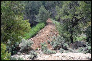
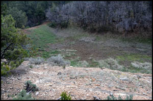
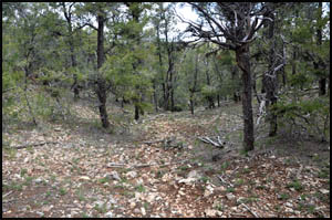
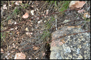
There is a drainage with three fingers between this road and Hermits Rest that I am going to try to bypass by initially walking some to the east. About three-fourths of a mile up the road from the trailhead sign, I turn north towards Hermits Rest. In no time at all, I come to the first of the three drainage fingers I was trying to avoid. This drainage is much steeper than these pictures make it seem and I have clearly bitten off more than I wanted to chew.
After a great deal of effort, I make my way to the bottom of the first drainage, go up the bed a while, and then climb the far side to the top. I immediately come to an old barbed wire fence, which has probably been here over a hundred years.
Unfortunately, I come to two more drainage fingers that are equally as tough to cross as the first one was.
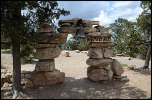
After getting across the last drainage finger, the going gets considerably easier. I know there is one more drainage to cross just before reaching Hermits Rest. In an effort to avoid that drainage completely, I contour more to the east and come out on the Hermits Rest road about a quarter mile from Hermits Rest. A short walk and I am there.
This was a very good day hike. However, if I did it again, I would try to avoid the deep drainage with three fingers that I encountered near the end of my hike and walk much farther to the east, maybe 1.5 - 2.0 miles up from the Waldron trailhead sign, before striking out for Hermits Rest. MAIN INDEX | HIKING INDEX | BACK TO TRIP REPORTS
|