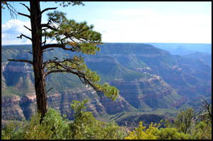
It rained most of the night, so I'm glad I had my tent. I pack my gear, take a few more pictures from Dutton Point, and leave around 8:00.
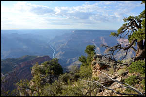
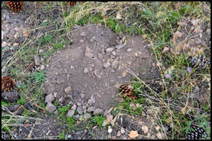
The entire Powell Plateau is covered with Mole-Gopher holes. The dirt is soft and fresh, making the walking a little hazardous if you aren't paying attention to all the burrowing activity.
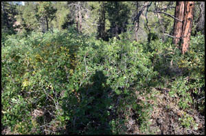
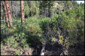
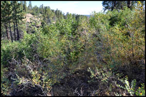
I never did find my sunglasses I dropped yesterday. That's why I buy the $5 ones from Walmart, so I don't worry much when I loose a pair. Pretty soon I come to the place with some serious bushwhacking. This brush is packed in here tighter than a drum. Fortunately, the going is a little easier downhill.
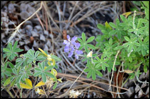
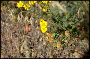
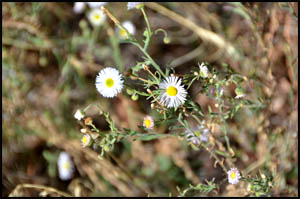
I find a few more blooming flowers today.
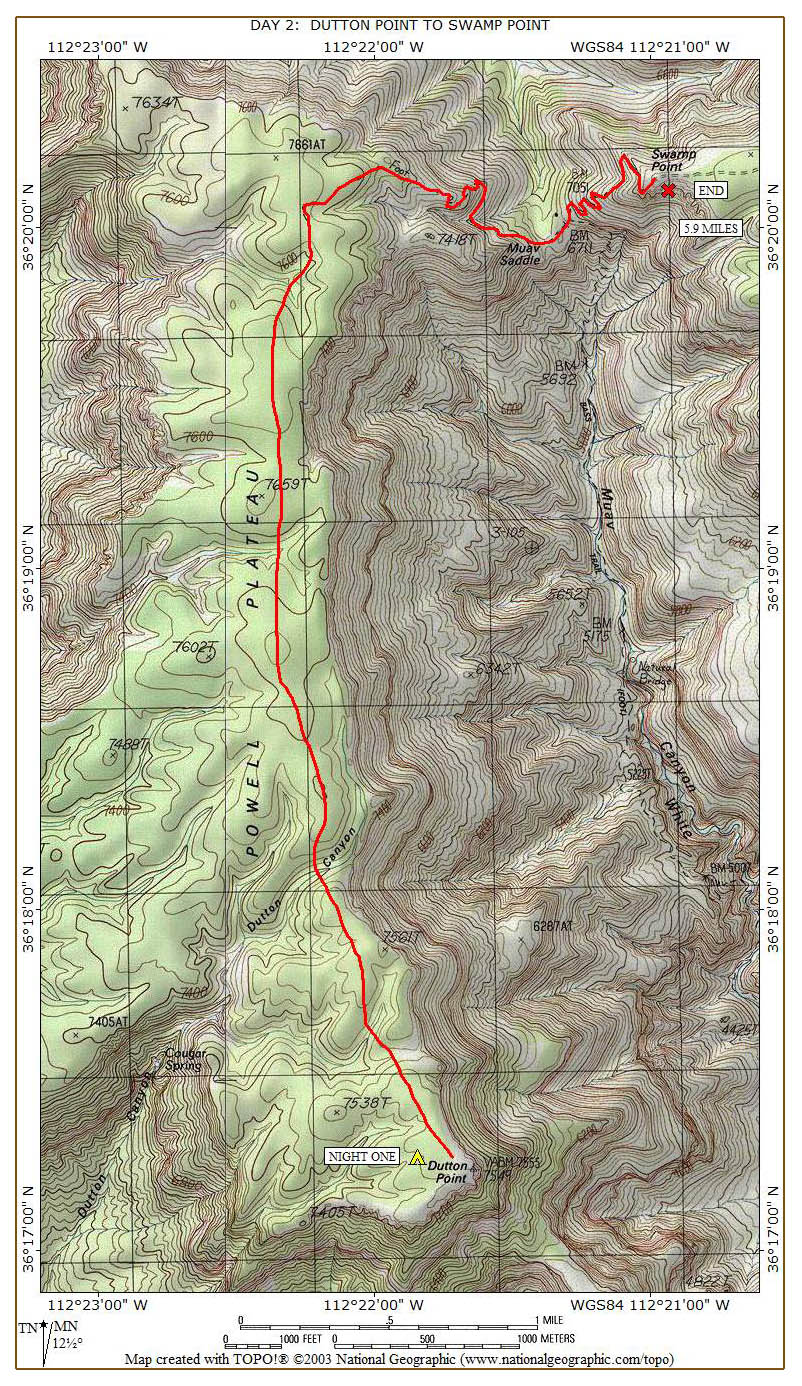
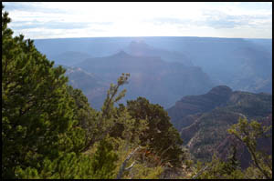
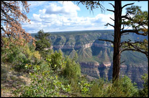
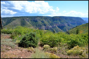
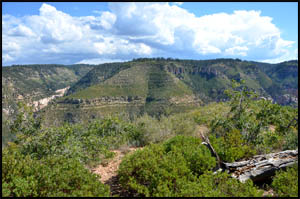
Intermittently, you are near the east edge of the Plateau, where the views are awesome looking across and down Canyon.
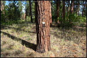
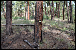
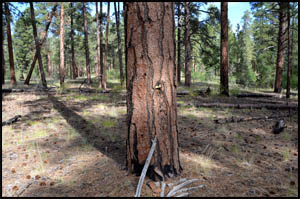
I pick up the trail again and find a lot more tree markers going this direction.
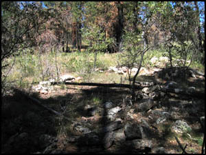
I never did find any ruins, but a picture of some of them taken by Erik Berg on a hike he did here in 2004 is shown below. With only some base stones left, it's easy to miss them in the tall grass and piles of pine cones.
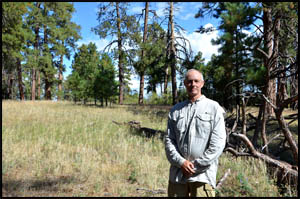
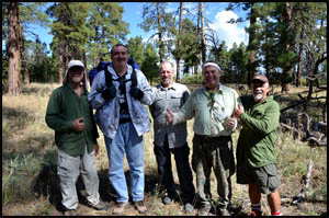
At the north edge of the Plateau, I meet a group of experienced hikers who have been up here several times. We visit a while and then take each other's picture.
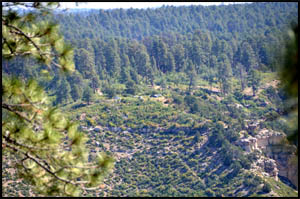
I say goodbye to my new friends and start down. The Powell Plateau is higher than Swamp Point, so using full zoom on my camera, I have a good view looking down on all the cars parked over there.
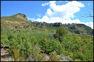
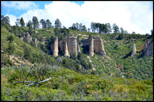
There are some interesting Hoodoo-like rock spires just south of Swamp Point.
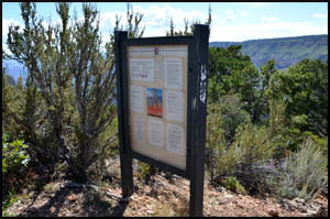
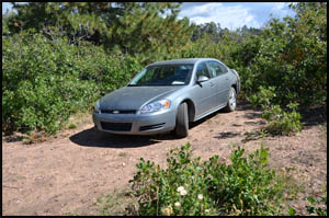
I have lunch about half-way up to Swamp Point and then continue the climb to the top. The trailhead sign and my car are welcome sights.
I drive back to Highway 67 and then start the long drive to Oklahoma. MAIN INDEX | HIKING INDEX | BACK TO DAY 1 | FORWARD TO POSTSCRIPT
|