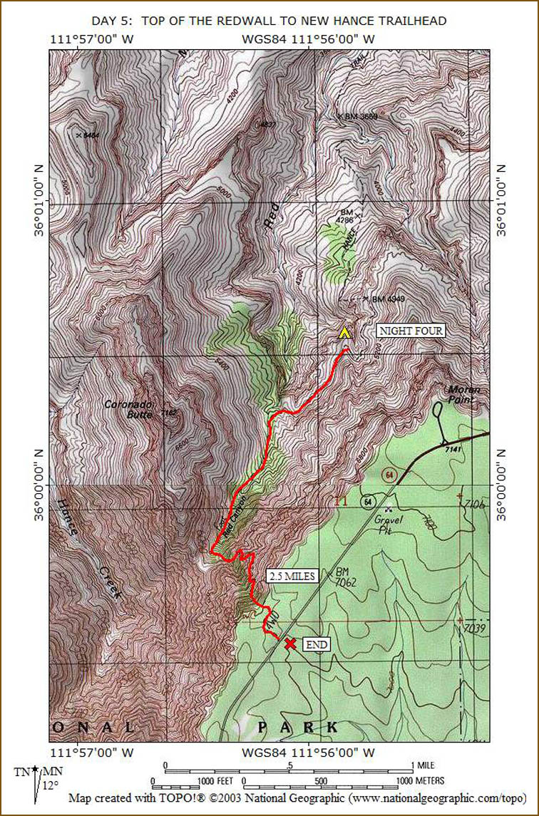
Now I know how tornado victims feel. We had every bit of 50 mile per hour wind last night. I'm surprised any of my tent stakes remained in place. While only one stake came out, it allowed the wind to blow inside my tent, effectively transforming it into a parachute. I kept thinking the wind would pull me and my tent over the edge. I had to hang on for dear life to the un-tethered corner of my tent all night long. Wow, that was quite the ride.
We travel the half-mile around the last loop and then reach a green area that is pretty rough. Many people report getting off trail in this section, but we do not have any problems. Keith is a much stronger hiker than I am. When we are about half-way to the top, I give him my car keys so he can climb on out, unhindered by my slow uphill speed. The penalty he has to pay is to walk the half-mile to the Forest Service road where my car is parked and bring it back to the trailhead.
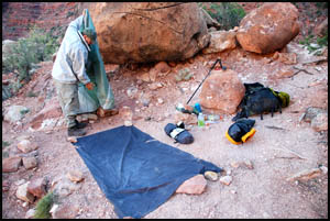
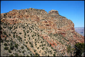
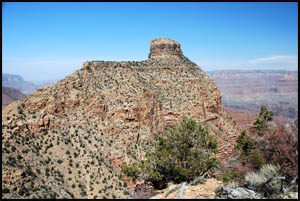
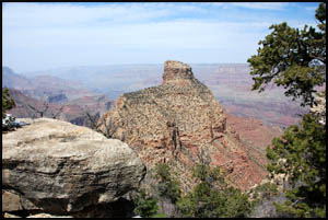
The dominant feature for most of the hike today is Coronado Butte. It is a little similar to O'Neill Butte on the South Kaibab Trail, named for Buckey O'Neill. It slowly fades below me as I approach the upper sections of the trail.
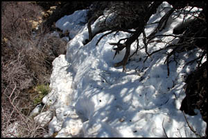
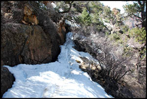
I meet a group headed downhill who tell me that there is some snow at the top, but crampons are not needed. Pretty soon I reach the snow and proceed very cautiously across it. The group was right, so that saved me from having to dig my Microspikes out of my pack.
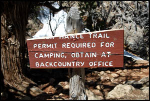
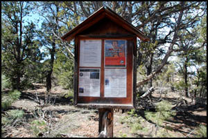
I make one final push up a steep section and reach the New Hance trail sign and information sign nearby. The trail sign wasn't broken my last time by here.
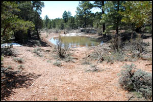
I don't recall seeing this pond right by the highway on my last trip this way.
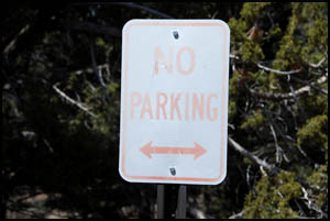
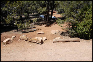
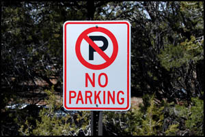
I reach the official trailhead at the highway, but don't see Keith anywhere. I was expecting him to already be here with the car, so maybe I was making pretty good time after all. I only have to sit down for about five minutes before he pulls up. The trailhead has a couple of logs to sit on between two no-parking signs on the highway.
I jump in the car and we head to the Maswik for lunch. Tomorrow we are going to Flagstaff to meet with park personnel, who are going to give us a demonstration of their new online permit application software. MAIN INDEX | HIKING INDEX | BACK TO DAY 4 | FORWARD TO POSTSCRIPT
|