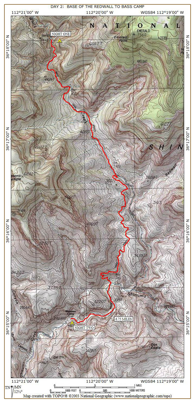
I am having oatmeal this morning while Tom is having some pre-cooked bacon as part of his breakfast. He realizes there are several human predators eying his bacon, so he guards it closely. Tom has completely redone his boot repairs with some cord in addition to the stainless steel wire. The trail continues down the bed of White Creek for a mile or so and is rough in places. There is some bush whacking, boulder hopping, and multiple crossings over the flowing water in the creek. In about fifteen minutes, we find a much better campsite next to the creek with a note from "J.B." written in the sand. We dub this the J.B. campsite and plan to use it on our return leg.
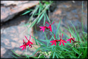
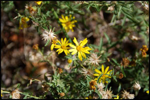
I find a couple of blooming flowers on this section of the trail.
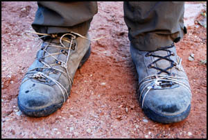
We finally break out of the creek bed and reach a point where the trail loops around some outcroppings and descends quickly.
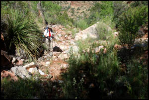
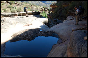
After another two hours, we stop for lunch in the shade near some pools of water and a pour-off. Just a few minutes down the trail we find another note from "J.B." made with some small rocks.
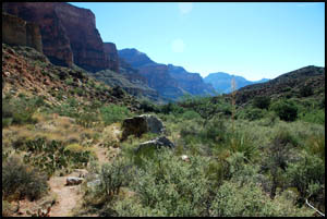
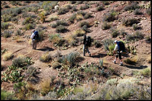
As we approach the Tonto section, we drop down into White Creek, cross it, and then climb up on top the Tonto. This is considerably easier walking than it has been and we are making good time now. We see two different, large openings in the east side of the canyon and speculate as to which one is the real Redwall Canyon.
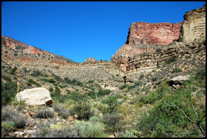
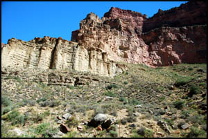
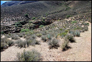
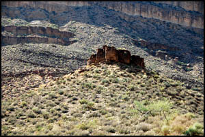
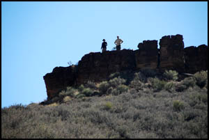
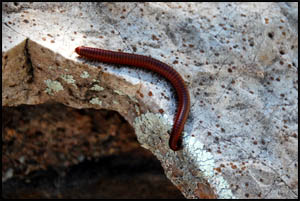
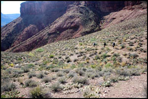
After another hour, we take a break in a drainage beneath a small butte. Tom and Keith decide to hike up the hill and climb to the top of the butte. Bob and I are having none of that and rest here in the shade while a centipede makes his way across a nearby rock. The hill up to the butte is much steeper than these pictures make it seem. That took a lot of effort.
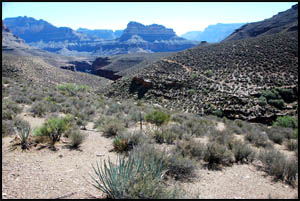
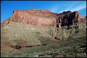
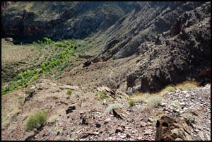
We're guessing this Tonto section of the trail is two to three miles long. The Canyon has really opened up here and is very pretty. Masonic Temple to the west is quite impressive.
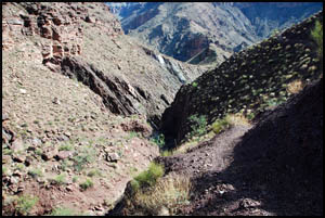
At the end of the Tonto section, the trail begins to descend rapidly and must run into Shinumo Creek pretty soon.
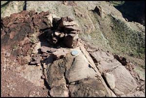
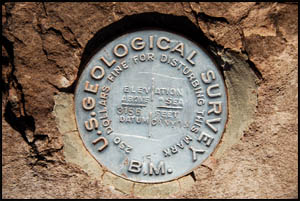
We reach a point that is high above some Cottonwood trees and Shinumo Creek. There is a Geological Survey marker set in a rock that has the word "Canyon" stamped on it with the number "15" but no date. Many of the markers I have seen in the Canyon have both the date and the exact location stamped on them. Keith and I start the steep descent down to the Cottonwood trees. There are a lot of very nice campsites at the bottom by Shinumo Creek and we discuss camping here on our return.
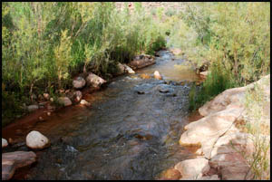
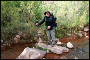
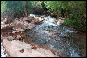
When Tom and Bob arrive, they decide to take a rest break while Keith and I press on. The trail continues on the other side of Shinumo Creek and generally stays on the left side going down stream. However, we are required to make several creek crossings to bypass various obstacles. Shinumo Creek is flowing quite well, probably a result of all the recent storms and rain.
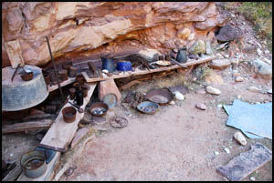
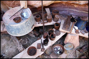
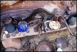
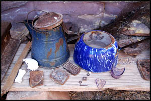
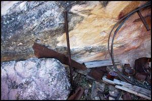
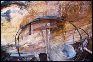
Keith and I pull into Bass Camp a little after 4:00. I am surprised with the large number of artifacts here. Equally amazing is that most are in very good condition considering they have been here almost a hundred years. We even find a plow and a wood stove among them. Click any picture below to see six of the Bass Camp artifacts:
Click any picture below to see six more of the Bass Camp artifacts:
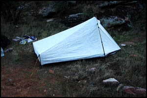
This is not an especially good place to camp as there are only a couple of places for a tent. Keith and I set up our tents in the grass and wait for Tom and Bob to arrive. We leave the better campsites for them. They arrive in about fifteen minutes, but are on the wrong side of the creek and have a small challenge getting over to our side.
Bob is really worn out and not feeling well. Hopefully, he will be fine after a good night's rest. This has been a hard day, but tomorrow should be easier with only 1.5 miles to go to the River and a small saddle to climb over. MAIN INDEX | HIKING INDEX | BACK TO DAY 1 | FORWARD TO DAY 3
|