|
ALL HIKERS
DAY 1:
GRANDVIEW POINT TO COTTONWOOD CREEK |
I'm up
around 5:30, pack my gear, eat at the McDonald's in Tusayan, and drive to
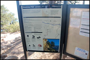
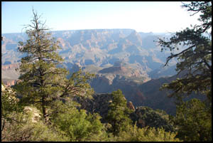
Grandview Point. No one is here when I arrive a little after 7:00.
This is one of those trailheads that's usually pretty crowded, even
early in the morning. As I start down, I can see Horseshoe Mesa right away with its
distinctive horseshoe shape.
 |
 |
 |
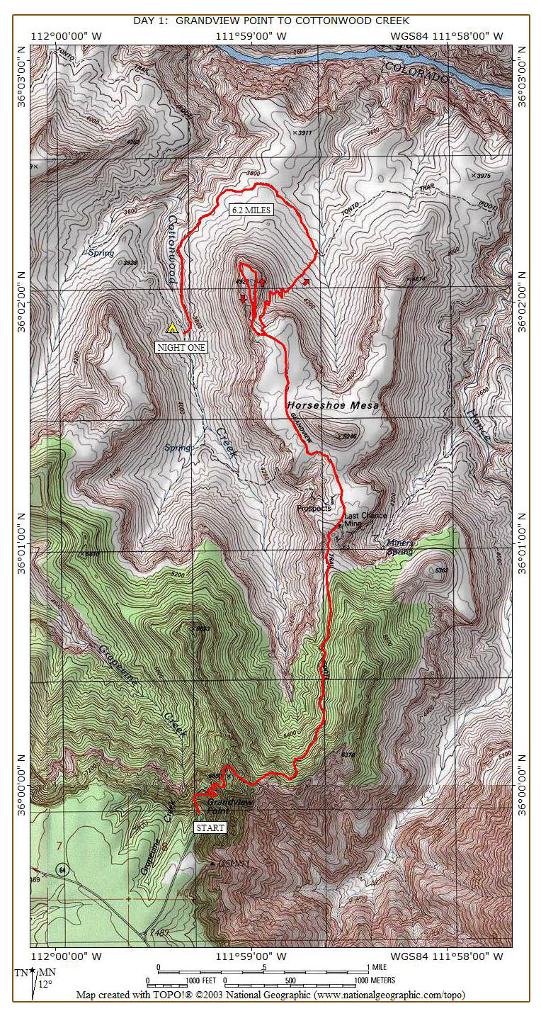
Grandview trailhead sign
4-29-2009 @ 7:29 |
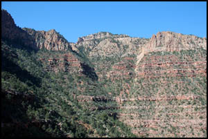
Horseshoe Mesa from the top
4-29-2009 @ 7:33 |
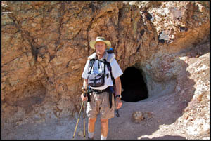
Horseshoe Mesa
4-29-2009 @ 7:30 |
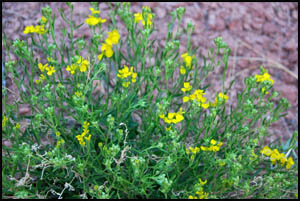
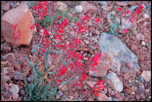
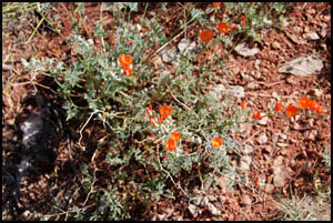
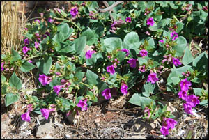
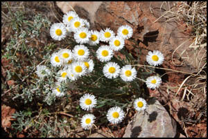
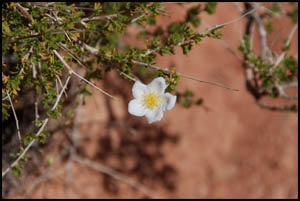
I normally
don't hike this late in the spring due to the increased temperatures in
the inner Canyon. However, I'm doing a week-long raft trip through
the Grand Canyon in a few days, so I thought I could fit in this hike
just before the raft trip. A benefit to this late start is that
the Canyon is ablaze with blooming flowers. I can't recall ever
seeing this variety or quantity of flowers before.
 |
 |
 |
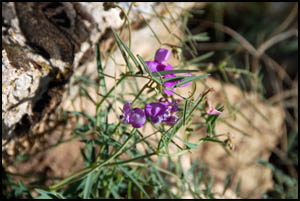
Small-Flowered Milkvetch
4-29-2009 @ 7:51 |
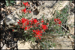
Indian Paintbrush
4-29-2009 @ 7:59 |
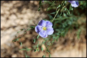
Western Blue Flax
4-29-2009 @ 8:05 |
 |
 |
 |
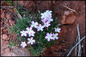
Desert Phlox
4-29-2009 @ 8:56 |
Sand-Verbena
4-29-2009 @ 8:58 |
Slender Janusia
4-29-2009 @ 8:58 |
 |
 |
 |
Scarlet Penstemon
4-29-2009 @ 9:09 |
Globemallow
4-29-2009 @ 9:51 |
Purple Mat
4-29-2009 @ 10:07 |
I seem to
be making pretty good time and still have not seen anyone else.
Many sections of the trail still have the original stone paving
completed over a century ago.
 |
 |
 |
View back to the South Rim
4-29-2009 @ 8:53 |
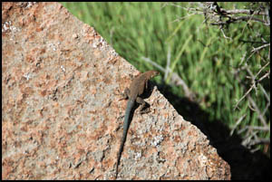
Plateau Lizzard
4-29-2009 @ 9:18 |
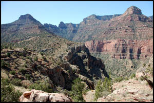
South Rim from the mesa
4-29-2009 @ 10:01 |
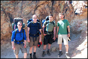
In about
two hours, I round the corner by the Last Chance Mine and meet a group
of four guys who are just hiking out. We chat a while and take
turns getting each other's picture. I give them detailed
instructions for finding Cave of the Domes when they venture this way
again. That feature is incorrectly shown on many maps and they
were unable to find it using their map. I never cease to be amazed that
Pete Berry could mine copper on Horseshoe Mesa, transport the ore to
the rim by mules, refine it there, and make the operation pay.
 |
 |
Group by Last Chance Mine
4-29-2009 @ 9:46 |
Richard by Last Chance Mine
4-29-2009 @ 9:48 |
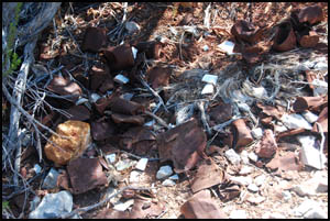
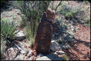
There are a
lot of mining remnants still on the mesa. A tin can pile is just
below the mine as is Pete Berry's stone mining claim marker from 1892.
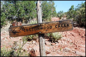
I quickly reach the trail junction for Cottonwood Creek, but don't see
the main "Horseshoe Mesa" sign that was here my last time down.
 |
 |
 |
Tin can pile on the mesa
4-29-2009 @ 9:50 |
Last Chance Mine claim marker
4-29-2009 @ 9:53 |
Cottonwood Creek sign
4-29-2009 @ 9:54 |
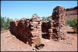
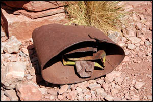
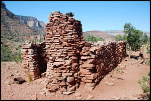
The cook's cabin on Horseshoe Mesa seems to have deteriorated some since my
last trip here. It is disturbing to see that someone has removed the
large cooking pot from the fireplace and damaged it. I don't
understand why people can't leave historic artifacts alone.
Click here to see two
pictures of original buildings at Horseshoe Mesa taken around 1903.
 |
 |
 |
Cook's cabin on the mesa
4-29-2009 @ 9:55 |
Old pot at cook's cabin
4-29-2009 @ 9:55 |
Cook's cabin on the mesa
4-29-2009 @ 9:56 |
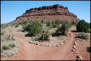
Just north of the cook's cabin is a branch in the trail. The right
fork goes to the group camp site. I take the left fork, which leads to
Cave of the Domes and the northwest arm of the mesa. I'm going to
explore the northwest corner and then make the descent off the north
approach, things I haven't done before.
 |
 |
Trail junction - Horseshoe Mesa
4-29-2009 @ 9:58 |
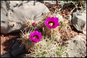
Hedgehog Cactus in bloom
4-29-2009 @ 10:09 |
I reach the northwest arm of the mesa in about twenty-five minutes.
I drop my pack on the trail at the descent point and explore some
out on the arm. Only light scrambling is required to reach the end.
The views are quite good in all directions.
 |
 |
 |
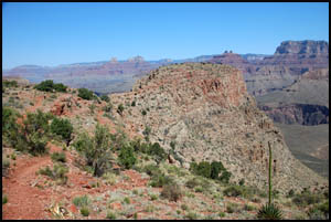
NW arm of Horseshoe Mesa
4-29-2009 @ 10:24 |
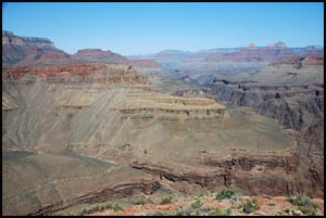
West view from NW arm
4-29-2009 @ 10:43 |
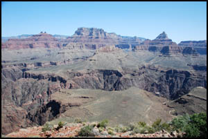
North view from NW arm
4-29-2009 @ 10:44 |
I retrieve my pack and start down the north side. I was hoping this
descent would be a lot easier than the other two sides, but it's not.
While it isn't quite as steep as the east or west approach, it does seem to
go on forever. Near the bottom, I meet a husband and wife coming
uphill who did a dry camp last night on the Tonto. There are more
blooming flowers everywhere.
 |
 |
Fleabane Daisy
4-29-2009 @ 10:51 |
Bigelow's Linanthus
4-29-2009 @ 10:53 |
I finally
reach the bottom and the Tonto Trail and then turn back to the west.
This route will cause me to backtrack about 1.5 miles before reaching
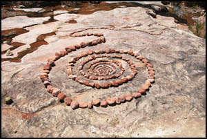
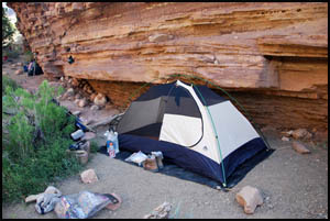
Cottonwood Creek. I am hot, tired, and hungry when I pull into camp
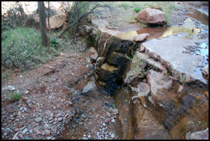
around 1:00. Someone has gone to a lot of effort to construct some
interesting rock art on the creek bed. There is a large group of
eleven people here, but I am in no mood to hunt for a separate campsite, so
I just plop my stuff down at the end of where they are by a wall.
One advantage to my location is that the wall is blocking the sun, so I can
have lunch in the shade and then take a short nap out of the heat.
 |
 |
 |
Some interesting rock art
4-29-2009 @ 1:02 |
My campsite the first night
4-29-2009 @ 3:40 |
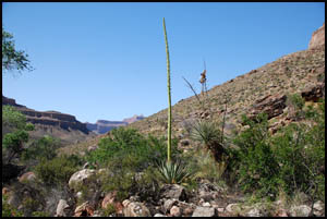
Century Plant
4-29-2009 @ 3:43 |
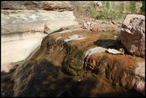
Cottonwood Creek is flowing quite well, so filtering water is not an
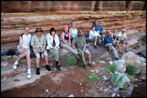
issue. It turns out that ten members of the large group are from Los Alamos
and one guy is from Albuquerque.
 |
 |
 |
Cottonwood Creek
4-29-2009 @ 3:45 |
Cottonwood Creek
4-29-2009 @ 3:48 |
Group from Los Alamos
4-29-2009 @ 3:49 |
My plan for tomorrow is to get up a little early and travel the Tonto to the
southeast around to Hance Creek.
MAIN INDEX
|
HIKING INDEX
|
BACK TO PREFACE
|
FORWARD TO DAY 2
|
Copyright © Richard M. Perry, 2004-2024. All rights reserved. This web site, its text, and pictures may
not be copied without the express written consent of Richard M. Perry. |
|