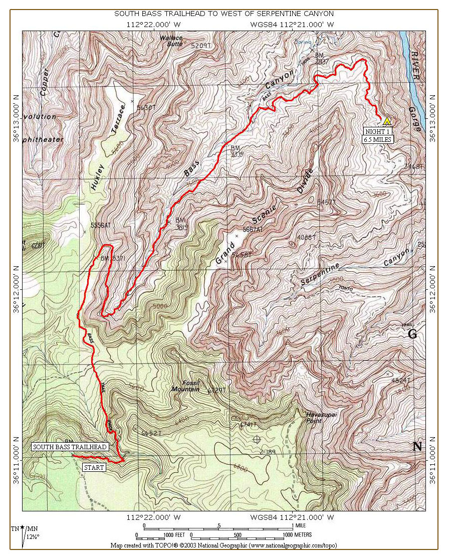
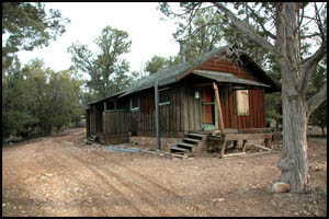
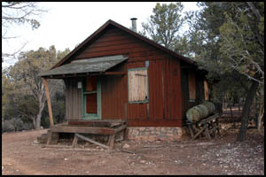
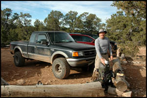
Keith and I are up early, pack our gear in the truck, and head out around 6:00. Forest Road # 328 is easy driving until you reach the Havasupai Tribal check station. No one is there at 7:00, so we unlatch the gate and proceed. After this, the road deteriorates rapidly with lots of deep ruts and rough spots. It is very slow going now and immediately obvious that this section of the road would not be any fun if it were wet or snow covered. In a few more miles, we come to the abandoned Ranger Station at Pasture Wash. I expected it to be in a greater state of deterioration.
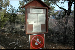
Just a few more miles and we reach the trailhead. The total driving time was about two hours. We are surprised to find six or seven vehicles here, one of which is a regular car. They even have two picnic tables here.
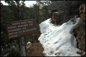
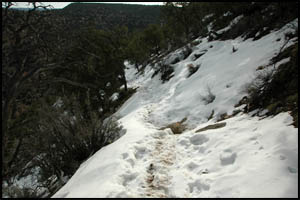
Keith and I unload our gear, leave a quart of Gatorade for our Alaska friends, who are sure to be thirsty when they reach their truck, and start down the trail. The first quarter-mile or so is snow covered, but not too icy.
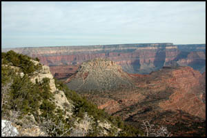
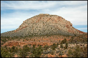
The views of Mount Huethawali and the lower South Bass Trail are fantastic.
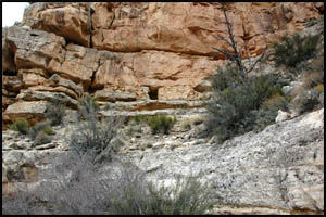
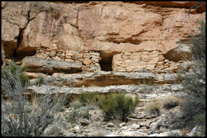
In about a half-hour, we come to some Indian ruins just off the trail. We would like to drop our packs and go over to explore the ruins, but since we have a long ways to go, we decide to forego that and continue down the trail.
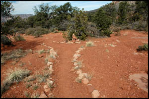
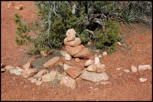
About an hour later, we come to the Royal Arch Trail junction and the Esplanade. After a short break, it's time to head down the trail.
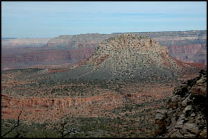
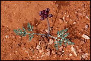
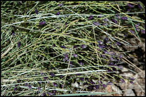
We are directly adjacent to Mount Huethawali and find the walking across the Esplanade is easy. This is a very pleasant section of the trail. Flat sections are always nice. I find an interesting small purple flower that appears to be in the Specklepod Milkvetch family. I'm guessing it is a Small-flowered Milkvetch.
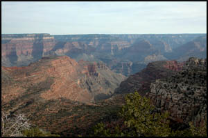
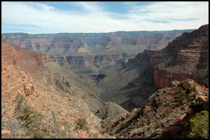
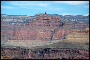
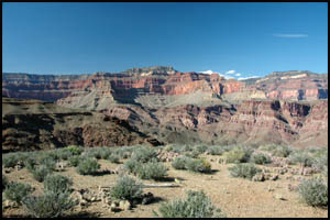
Just before 11:00, we reach the north end of the Esplanade, make a right turn, and head downhill back to the south. The view down Canyon is quite good and snow is still visible at the South Rim.
After a mile or so, we make a turn back to the north and continue our gradual descent. We find blue lichen on some rocks and later see Mormon Tea that is in bloom with bright purple flowers.
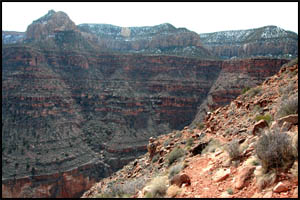
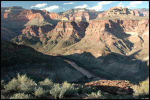
One of the dominant features on the other side of the river is Holy Grail Temple with its spire on top. Upon his death, this is where William Wallace Bass had his ashes scattered. Keith and I remark that the South Bass is probably the easiest non-Corridor trail into the Canyon we have done. It has mild descents and is only five miles from the trailhead to the Tonto Trail junction, which we reach around 2:00. There are some fine campsites at the junction.
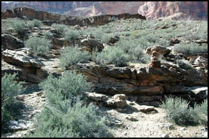
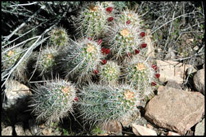
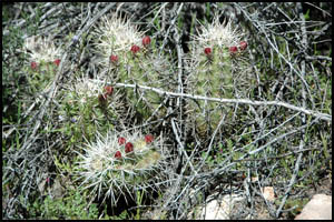
We turn right on the Tonto Trail and begin a gradual climb up to the Tonto Platform. We haven't found any cactus in bloom yet, but all the Hedgehog Cactus will probably be in full bloom in another week or two.
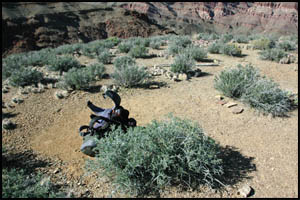
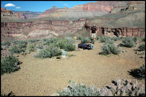
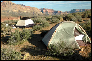
About a mile past the trail junction, we meet our west-bound Alaska friends. They are thankful their truck will be at the trailhead when they get there. We are equally as thankful for the use of the truck to reach the trailhead. After exchanging water reports and campsite advice, we say goodbye and head around the corner to a point with a good camping spot and great views.
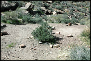
We knew this would be a dry camp, so we carried extra water down with us. After setting up our tents, we wander over to the edge to get a view of the river.
Our plan tomorrow is to camp at Ruby Canyon, where water will be flowing. MAIN INDEX | HIKING INDEX | BACK TO PREFACE | FORWARD TO DAY 2
|